Des Moines, Iowa- A narrow but dangerous tornado corridor is active today — and whether storms reach your neighborhood depends on a single atmospheric factor that forecasters are watching closely.
What forecasters are watching right now
Meteorologists have identified an isolated tornado threat stretching from central Iowa all the way through central Wisconsin, affecting a corridor that includes Des Moines, Waterloo, Cedar Rapids, Dubuque, La Crosse, Madison, and extending northeast toward Green Bay and Appleton.
The threat window is active today, with the probability zone updated early Wednesday morning. While the overall tornado probability sits at 2 percent, forecasters warn this number could shift quickly depending on how storms develop throughout the day.
The one factor that changes everything
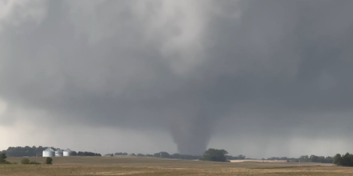
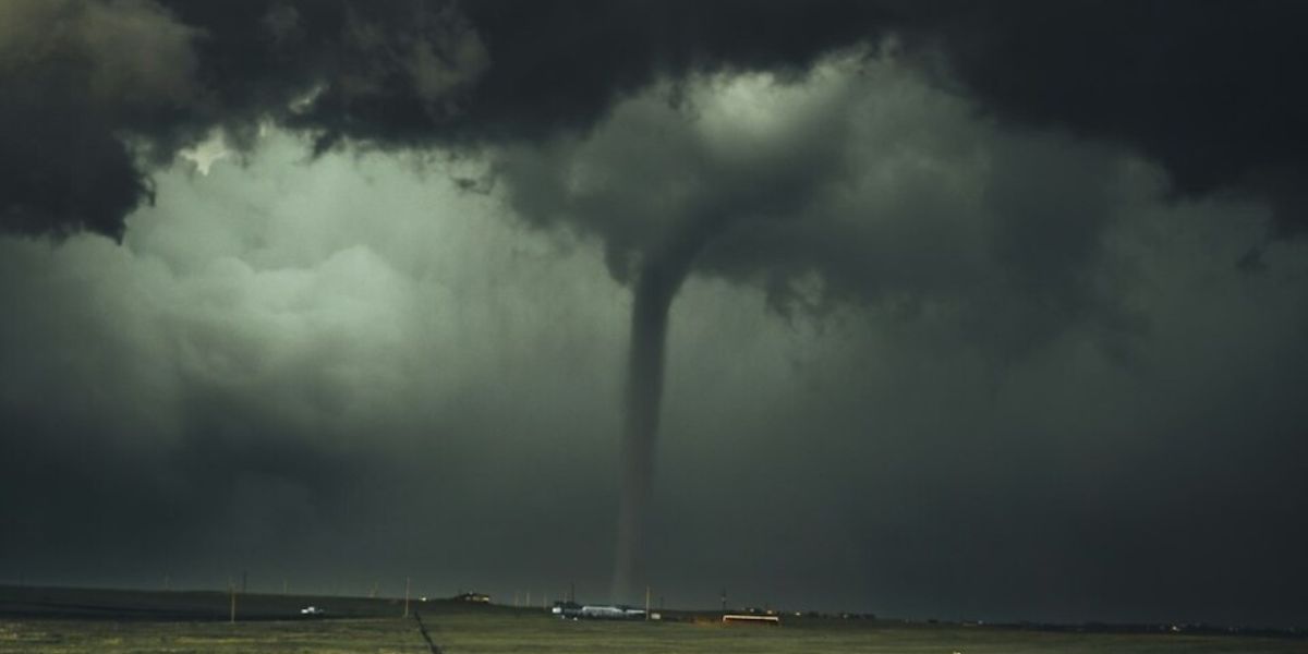
Here is what residents in the affected corridor need to understand: the entire tornado threat hinges on whether thunderstorms remain discrete — meaning individual, separated storm cells — rather than merging into a broader line. When storms stay discrete, they have a significantly higher potential to produce tornadoes. Once they consolidate into a line, that danger largely diminishes.
Forecasters note that storms today are expected to quickly grow upscale into short line segments, which is why the probability remains at the lower end. However, that brief window when storms are still discrete is when the tornado risk peaks — and it can happen fast.
Who is at risk: The primary corridor runs from near Des Moines and Ames in Iowa through Waterloo, Cedar Rapids, and Dubuque, then into Wisconsin through La Crosse, Rochester, and Madison toward Green Bay. Communities outside this corridor, including Sioux Falls and Sheboygan, are outside the immediate risk zone.
What residents should do now
Residents across the highlighted corridor should not wait until sirens sound. Identify a safe interior room on the lowest floor of your home now. Keep a weather app or local radio on throughout the afternoon and evening hours as storms develop. If a tornado warning is issued for your specific county, take shelter immediately — do not wait to see the storm.
Forecasters will continue monitoring conditions and may update probability levels as confidence increases. Any escalation in the outlook will be issued promptly and residents should treat each update seriously.