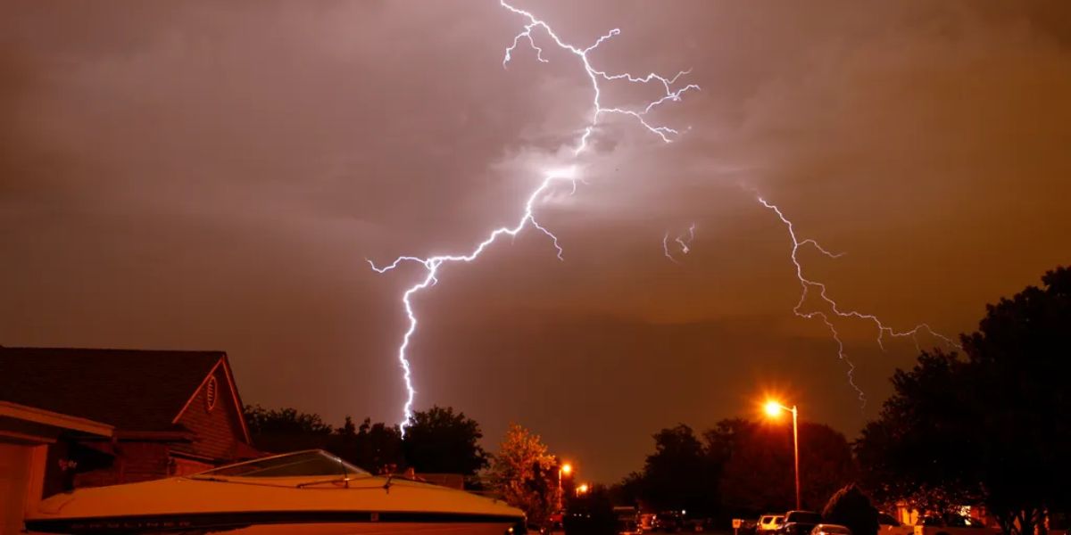
A shift in the weather pattern late this month is raising concern for a stretch of severe storm activity that could affect millions of residents across the Plains, Ohio Valley, and into the Northeast in the coming weeks.
Warm Up Expected to Fuel Storm Activity
A brief warm up moving into the region during the final days of June is expected to build the kind of atmospheric instability that fuels strong storm clusters. As temperatures climb, forecasters say the combination of heat and an increasingly active storm track will raise the chances of organized storm systems pushing through a wide corridor of the country.
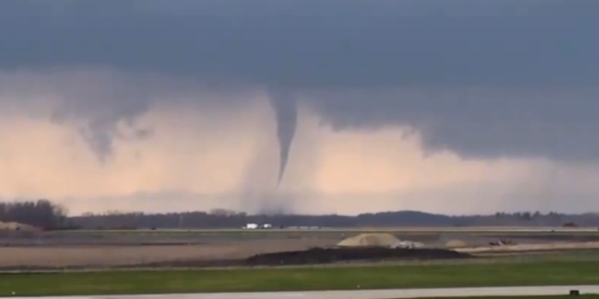
Storm Clusters Expected to Track From the Plains Eastward
The setup points to clusters of strong to severe storms forming in the Plains before tracking eastward into the Ohio Valley as the broader pattern shifts. The area under watch stretches from the Dakotas and eastern Colorado, through Minnesota and Iowa, and into Indiana, Ohio, and Pennsylvania.
Key Window: June 29 Through July 4
The stretch from June 29 through July 4 has emerged as the period of greatest concern, with conditions appearing most favorable for storm clusters during that window. Major population centers including Bismarck, Minneapolis, Chicago, Indianapolis, and Cleveland all fall within the highlighted zone, along with areas reaching toward the Northeast and Mid-Atlantic.
A Broad Stretch of the Country on Alert
The elevated risk zone covers an unusually wide swath of the U.S., spanning the northern and central Plains, the Midwest, the Ohio Valley, and extending into the Northeast and Mid-Atlantic states. With the holiday weekend falling inside this window, officials are urging residents across the corridor to stay alert as outdoor plans could be affected.
Conditions remain subject to change as the timeframe approaches, and updates are expected to sharpen the picture of exactly where the most intense activity may set up. Residents in the affected states are advised to keep a close eye on local forecasts in the days ahead.