Iowa is bracing for a severe weather outbreak Wednesday that forecasters say could bring tornadoes, large hail and damaging winds to multiple parts of the state — and officials want residents to be ready before the first storms arrive.
Two separate rounds of thunderstorms are expected between 6 a.m. and 8 p.m., with conditions deteriorating rapidly during the afternoon hours. The danger is not limited to one corner of the state — threats stretch from southeast Iowa all the way through the central corridor.
- Level 3 — Enhanced Risk Ottumwa, Fairfield, Oskaloosa and surrounding areas
- Level 2 — Slight Risk Des Moines, Iowa City, Marshalltown
- Level 1 — Marginal Risk Northern Iowa communities
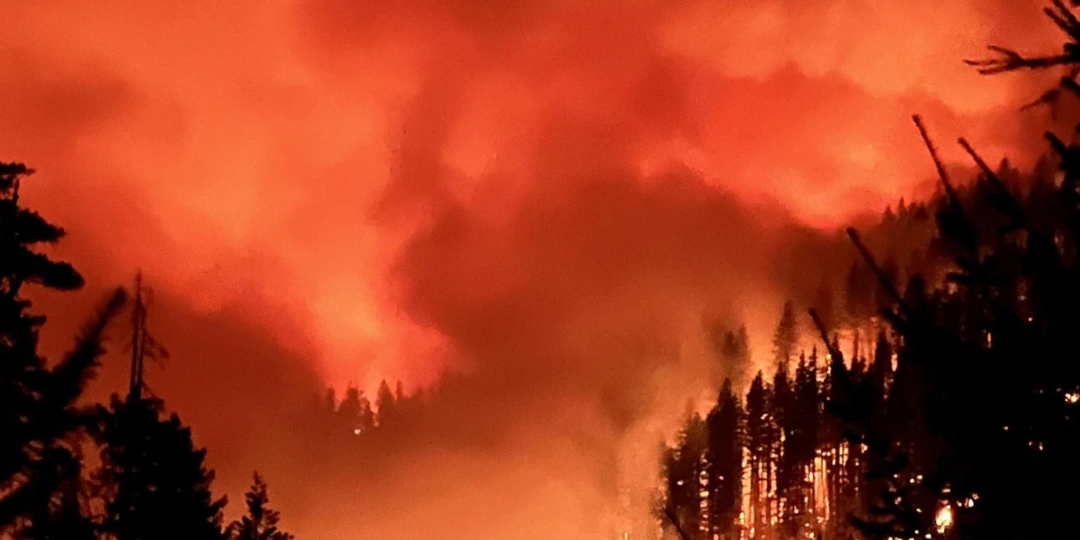
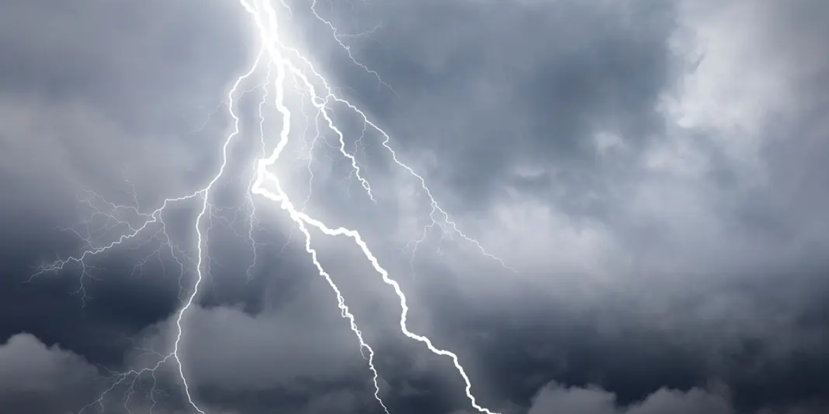
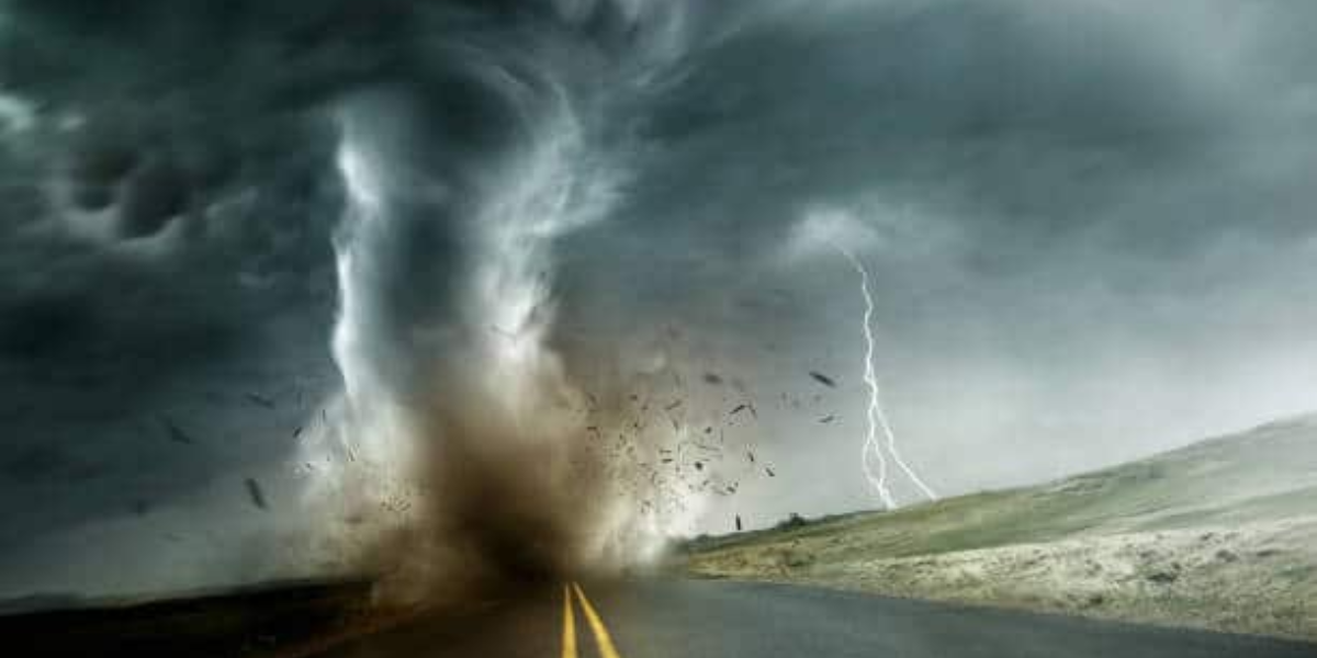
Southeast Iowa faces the greatest danger, placed under a Level 3 Enhanced Risk — meaning numerous severe storms are not just possible, they are considered likely. Residents in Ottumwa, Fairfield and Oskaloosa could see all hazards at once: tornadoes capable of causing structural damage, hailstones large enough to shatter windshields and punch through rooftops, wind gusts powerful enough to snap trees and knock out power lines for days.
Even the Des Moines metro area, under a Level 2 Slight Risk, is not in the clear. Damaging storms could push through the capital region during the afternoon window, and localized flash flooding is an additional concern wherever heavy rain falls repeatedly over the same areas.
Forecasters acknowledge uncertainty remains about the exact path of the strongest storms, but they are increasingly confident that at least one round of significant severe weather will affect Iowa Wednesday. That window of uncertainty makes early preparation even more critical.
Residents are urged to enable wireless emergency alerts on their mobile devices, identify a safe interior room on the lowest floor of their home, and monitor local emergency broadcasts throughout the day. Additional watches and warnings are expected to be issued as Wednesday approaches.