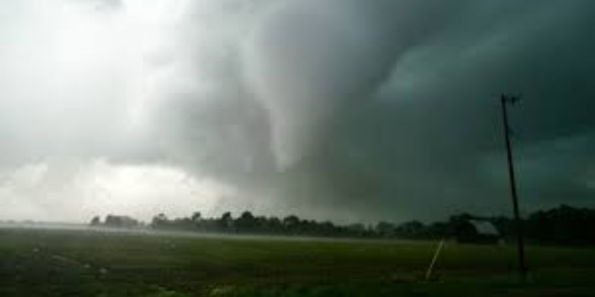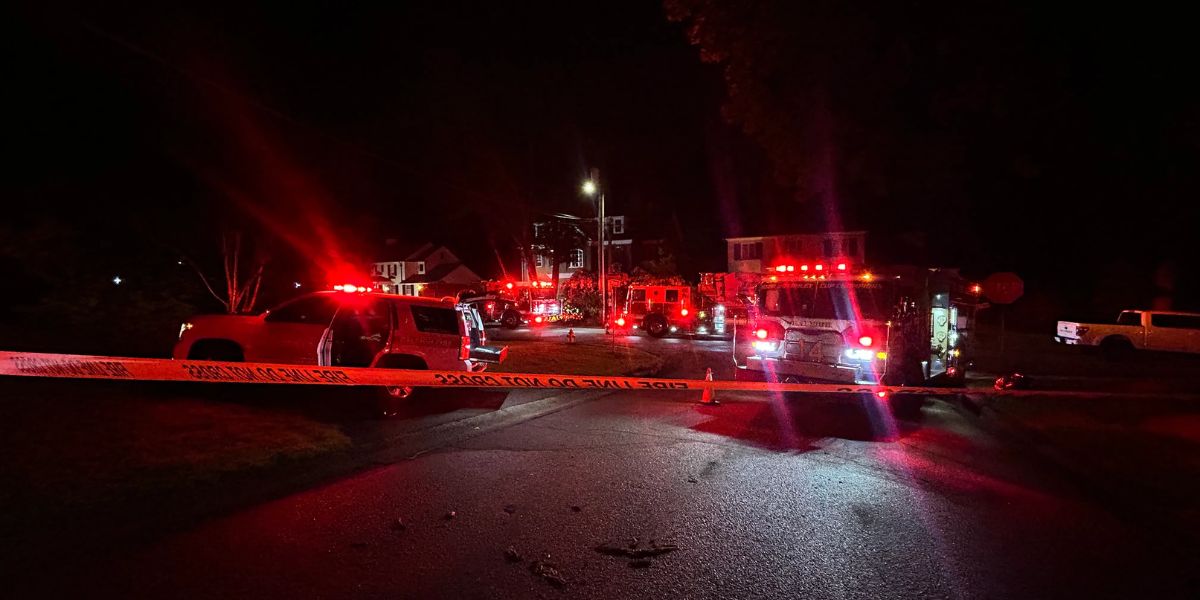
RALEIGH, North Carolina — The same dangerous storms that sparked multiple house fires and triggered a house explosion across North Carolina on Tuesday are returning Wednesday, and forecasters are urging residents not to underestimate what’s coming.
Scattered, hit-or-miss thunderstorms are expected to develop again across the state beginning around 1 to 2 p.m., forming along leftover weather boundaries from Tuesday’s activity. Because new storms are building along the same lines as yesterday, some of the hardest-hit communities could face a second round of impacts within 24 hours.
The Lightning Threat Is Real — Yesterday Proved It
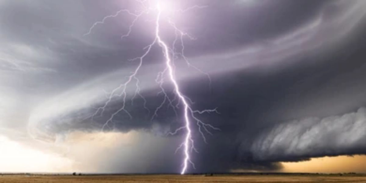
Forecasters are specifically calling out cloud-to-ground lightning as the primary danger today — and Tuesday’s events show exactly why. Lightning strikes yesterday were directly responsible for igniting several house fires and causing at least one home explosion across the state. Today’s setup carries the same risk.
Storm cells are expected to develop first across western North Carolina, with activity near Asheville and Franklin likely among the earliest to form. Coastal areas near Kill Devil Hills are also in the picture, and by evening, storms could be scattered across a wide area that includes Charlotte, Raleigh, and Fayetteville.
Not Every Storm Will Be Severe — But Any Storm Can Strike
Most of today’s activity will remain in the typical scattered category, popping up unpredictably rather than moving through as one organized line. However, a limited number of storms could strengthen enough to produce damaging wind gusts in addition to lightning.
The unpredictable, hit-or-miss nature of these storms makes them particularly difficult to track — a neighborhood that sees sunshine at 3 p.m. could be under a dangerous storm by 4 p.m.
Meteorologists will be monitoring radar closely through the afternoon and evening hours.
Residents are strongly urged to treat any rumble of thunder as a signal to get indoors immediately and stay there until at least 30 minutes after the last strike. Do not wait to see the storm before taking shelter.