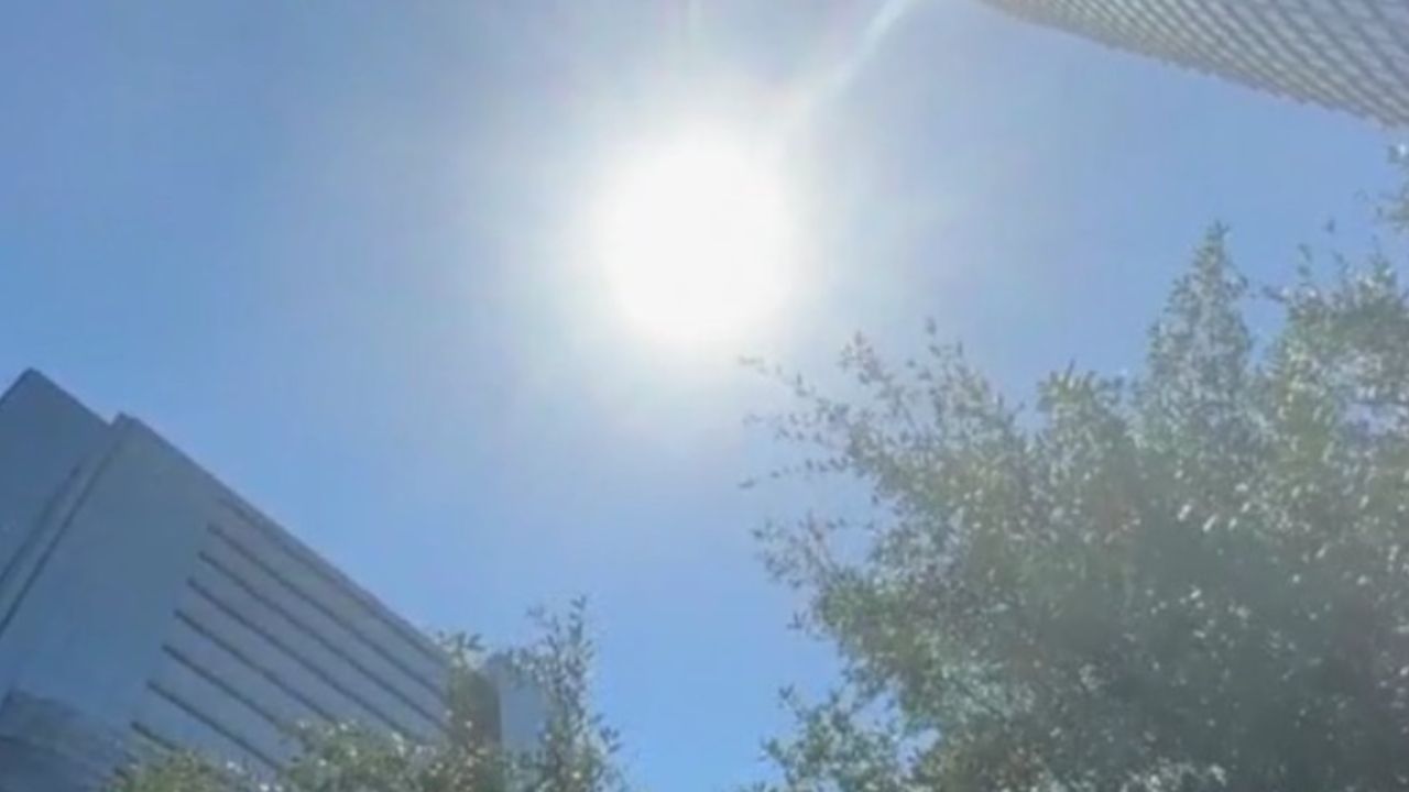
WASHINGTON, D.C. — Monday is offering a rare gift — dry skies, comfortable temperatures, and a welcome break from summer heat. But residents across the Maryland-Virginia region should not get too comfortable.
A fast-moving cold front is set to change everything by Tuesday afternoon.
What to Expect Tuesday
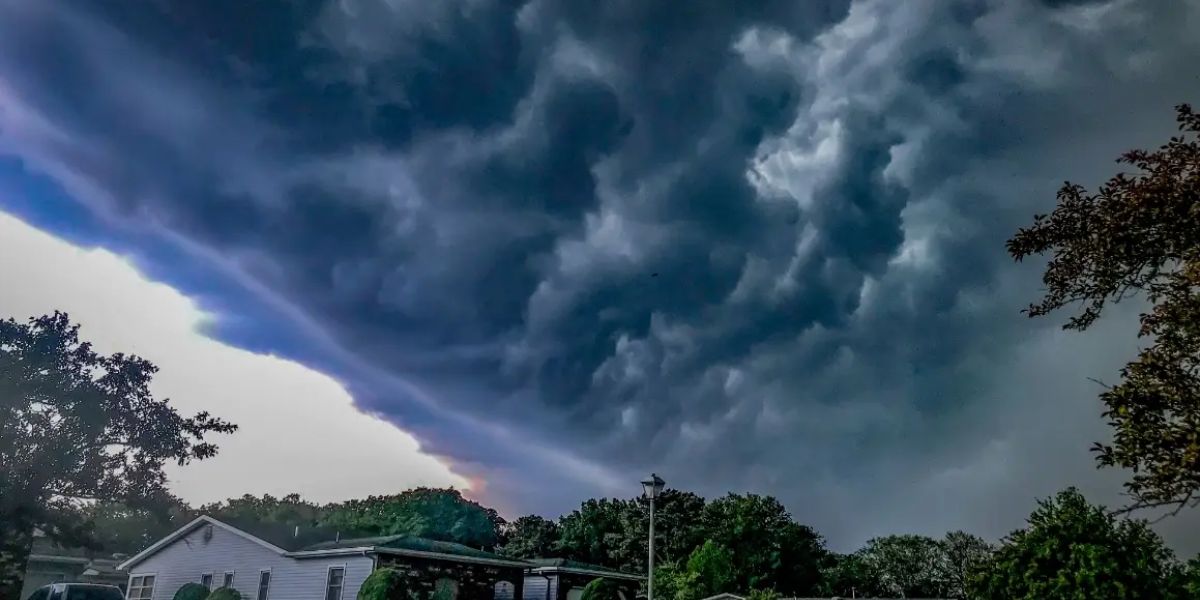
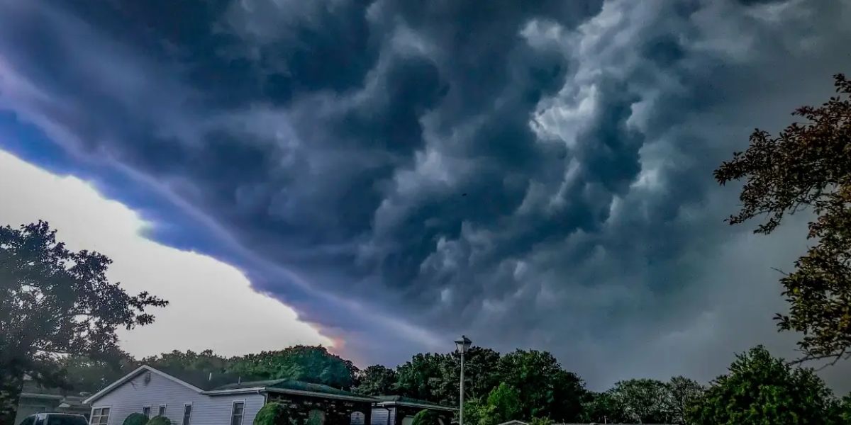
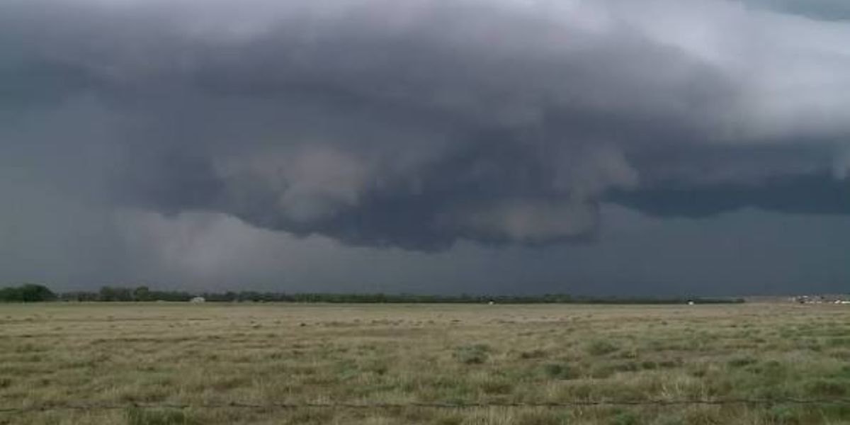
The National Weather Service has flagged strong to severe thunderstorms as likely across the Washington-Baltimore corridor Tuesday afternoon and into the evening.
The biggest threat is damaging straight-line wind gusts.
But that is not the only concern. Torrential rainfall, frequent lightning, isolated hail, and localized flooding are all possible with the strongest storms.
Communities along and east of the Interstate 95 corridor face the highest risk. Cities under watch include Washington D.C., Baltimore, Frederick, Hagerstown, Annapolis, Alexandria, Arlington, Fairfax, and Winchester.
Commuters Should Plan Ahead
Tuesday’s evening commute could get dangerous fast.
Heavy rain on Interstates 95, 495, 66, 70, and 270 could slash visibility while strong wind gusts make driving unpredictable. If you can adjust your schedule to be off the road before the storms develop, do it.
Before you go to sleep tonight, secure any loose outdoor furniture or items and make sure emergency weather alerts are turned on for your phone.
The Rest of the Week
Some showers and storms may hang around Wednesday, mainly east of the Blue Ridge, before conditions improve later in the day. Thursday brings mostly sunny skies back. Friday looks warm and dry with only a slim chance of an afternoon shower.
The rough patch is short — but Tuesday is not a day to be caught off guard.
Are you in the path of these storms? Let us know where you are in the comments and stay safe out there.