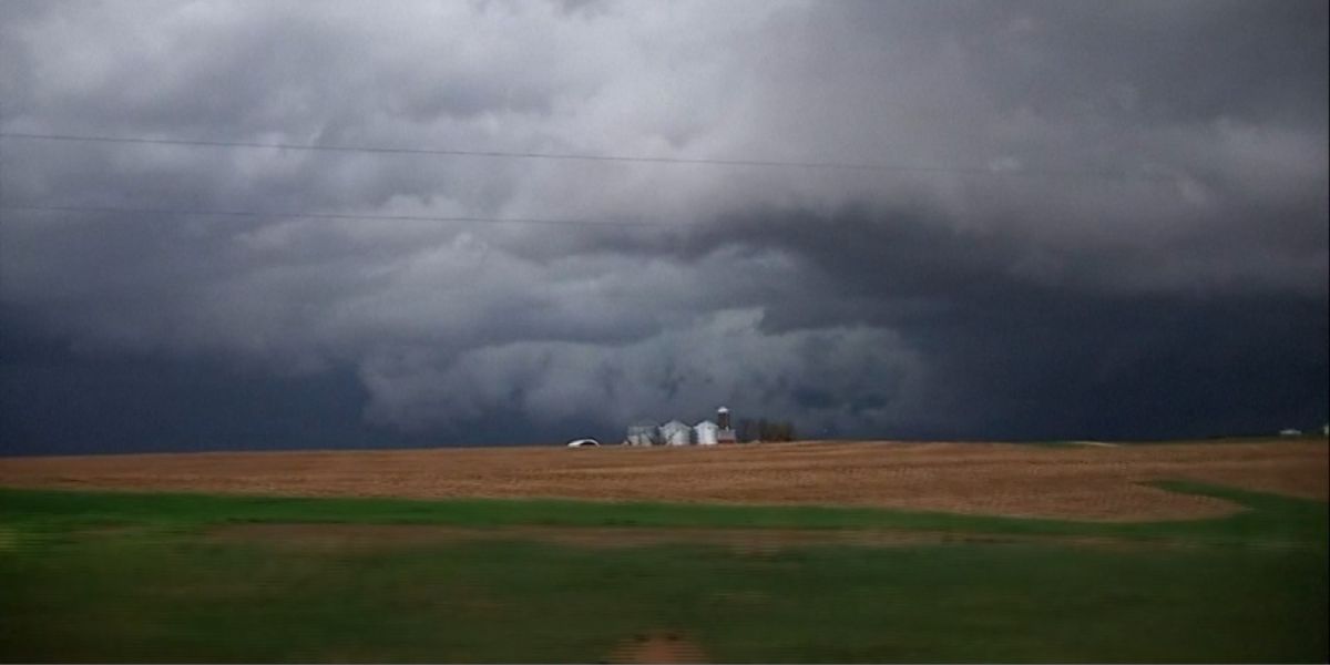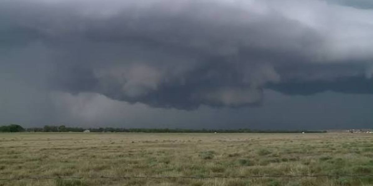
Sioux Falls, SD- A dangerous severe weather event is unfolding across southeast South Dakota tonight, and the most alarming part is the timing. The worst of it is expected to arrive after dark — when most residents are asleep and reaction time drops to nearly zero.
Meteorologists are tracking an intense mesoscale convective system — a massive, organized storm complex — that is expected to strengthen rapidly during the late evening hours. The system is capable of producing QLCS tornadoes up to EF-2 strength, a type of tornado that forms along the leading edge of fast-moving storm lines and can develop and touch down in under two minutes.
A 5% tornado probability zone — the highest in the region tonight — is centered directly on the Sioux Falls and Sioux City corridor, extending into northeast Nebraska.
The threat is not limited to tornadoes. As the storm complex matures overnight, it is also expected to unleash straight-line winds exceeding 70 mph across a wide swath of southeast South Dakota and into northern Nebraska and northwest Iowa. These winds can cause structural damage, down power lines, and become just as destructive as a weak tornado.
The danger with tonight’s setup is the combination: a tornado threat that could appear with almost no lead time, layered on top of a widespread damaging wind event, all happening while most families are in bed.
What you need to do right now: Make sure weather alerts are active on every phone in your household. Identify the safest interior room on the lowest floor of your home — an interior bathroom, closet, or hallway — and make sure every family member knows where to go if a warning sounds overnight. Do not wait for the storm to arrive to make this plan.
If a tornado warning is issued for your area tonight, move immediately. QLCS tornadoes do not give you time to watch and wait.