PITTSBURGH, Pennsylvania — Tuesday is not a day to be caught off guard across western Pennsylvania and the surrounding region.
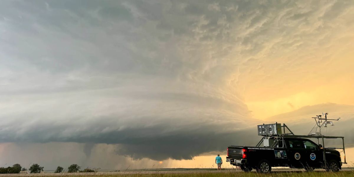
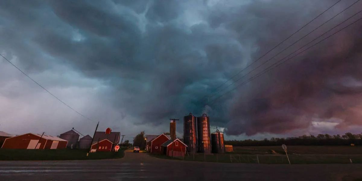
A powerful cold front is pushing through, and forecasters are warning that severe thunderstorms could develop rapidly by the afternoon commute — bringing a dangerous combination of threats all at once.
What’s Coming and When
The National Weather Service in Pittsburgh and the Storm Prediction Center have placed much of the Pittsburgh metro, Morgantown, and nearby communities under an Enhanced Risk — Level 3 out of 5 on the severe weather scale.
The highest threat window runs from noon to 8 p.m.
The strongest storms could produce wind gusts exceeding 75 mph, hail up to 2 inches in diameter, isolated tornadoes, frequent lightning, and torrential rainfall.
Any storm that stalls or repeatedly tracks over the same area could also trigger dangerous flash flooding — particularly south of Interstate 80, where a Slight Risk for excessive rainfall is already in place.
Who Needs to Pay Attention Right Now
Drivers on I-79, I-70, I-76, the Pennsylvania Turnpike, and I-376 through Pittsburgh should expect rapidly changing conditions — poor visibility, standing water on roads, and possible debris.
Residents in Pittsburgh, Butler, Washington, Beaver, Uniontown, Wheeling, New Philadelphia, and Morgantown should act before storms arrive.
That means securing loose outdoor items, reviewing your severe weather plan, and making sure you have more than one way to receive warnings — whether that’s a weather app, NOAA radio, or emergency alerts on your phone.
Do not wait for the first rumble of thunder to start preparing.
Are you in the path of Tuesday’s storms? Drop your location in the comments and stay safe out there.