CHEYENNE, WYO. —If you live in Colorado, Wyoming, Wisconsin, Illinois, or Utah, Wednesday is not the day to ignore the sky.
Federal forecasters have issued multiple simultaneous severe weather risks across the continental United States today, June 24 — a rare setup that has meteorologists watching three separate active zones at once.
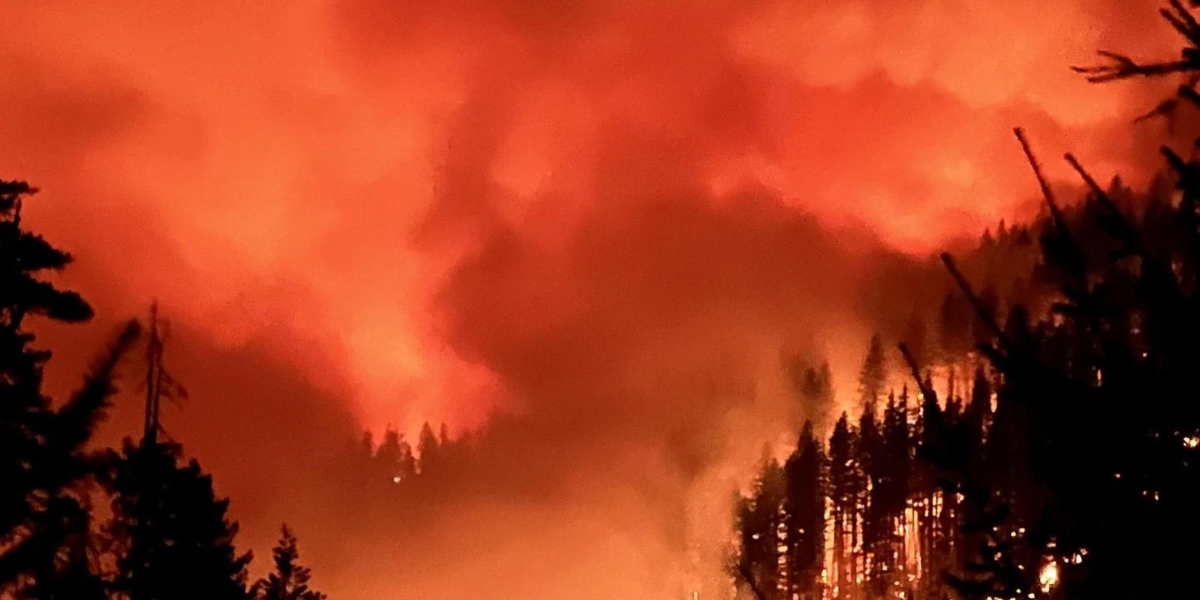
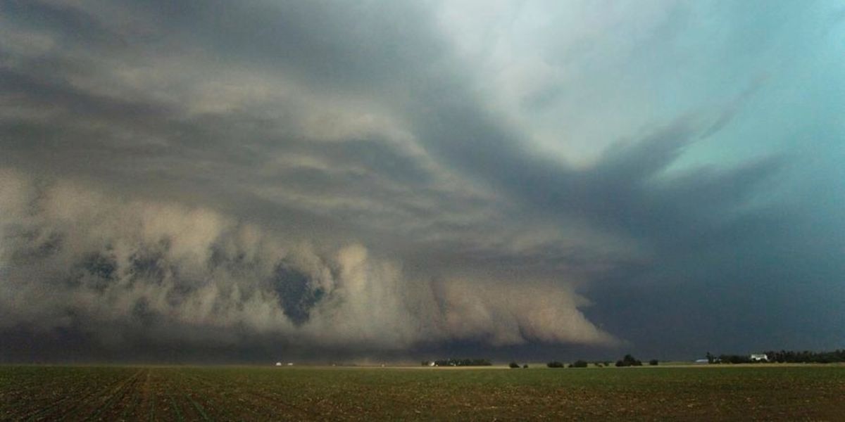
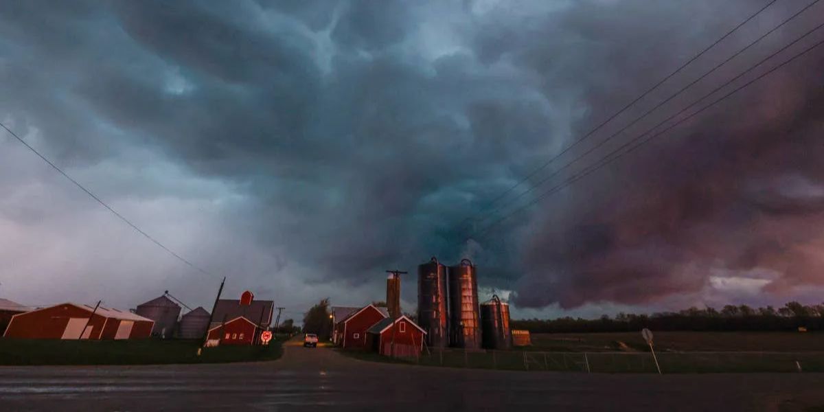
The most dangerous area sits over northeast Colorado and southeast Wyoming, which is under an Enhanced Risk, the third-highest severe weather threat level. Residents in and around Cheyenne and Denver should prepare for the worst combination possible: hailstones up to 4 inches in diameter — larger than a softball — wind gusts exceeding 75 mph, and a threat of tornadoes as supercell thunderstorms develop off the high ground this afternoon. Those storms could organize into a large complex by evening, extending the threat window well into the night.
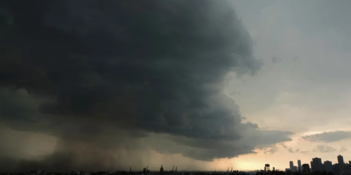
East of the Plains, a separate Slight Risk is active across parts of Wisconsin and northern Illinois, stretching through the Milwaukee and Chicago corridor. Large hail and damaging winds are expected through the afternoon and evening hours across this densely populated stretch.
A third risk zone — also rated Slight — covers portions of Utah, including the Salt Lake City area. The primary threat there is powerful outflow winds from thunderstorms developing this afternoon. While tornadoes are less likely here, the wind threat alone is enough to cause significant damage.
All three zones are active simultaneously, making this one of the most widespread severe weather days of the season across the lower 48.
Residents in Cheyenne, Denver, North Platte, Milwaukee, Chicago, and Salt Lake City are urged to keep a weather alert app active, avoid unnecessary travel this afternoon, and have a shelter plan ready before storms arrive. Conditions can deteriorate rapidly with little warning.
Do not wait until you see the storm to take action.