CHEYENNE, Wyo. — If your vehicle is sitting outside across southeast Wyoming, northeast Colorado, or Nebraska right now, you may want to move it before this afternoon.
A Level 3 of 5 Enhanced Risk is in effect Wednesday across the tri-state region, where meteorologists are warning of true supercell thunderstorms capable of producing hailstones measuring 3 to 4 inches across — the size of a baseball — along with tornadoes and damaging wind gusts later in the day.
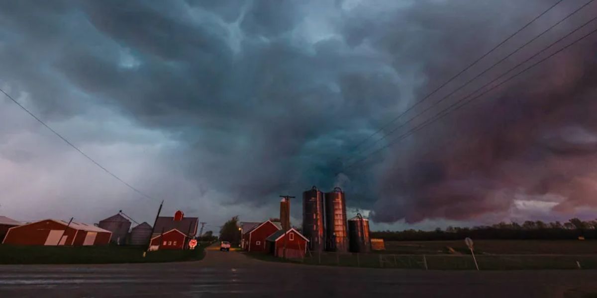
Hail Is the Headline Threat
The primary danger today is not the wind. It is not even the tornadoes. It is hail.
Stones measuring 3 to 4 inches are expected as storms fire off the higher terrain of southeast Wyoming and northeast Colorado this afternoon. Strong winds aloft are aligned in a way that allows supercell updrafts to suspend and grow hailstones to extraordinary size before they crash to the ground.
Hail this size can total a vehicle in seconds — shattering windshields, caving in hoods, and causing tens of thousands of dollars in damage with absolutely no warning.
What Makes Today Dangerous
Storms developing off the high ground this afternoon have all the ingredients needed to become organized, long-lived supercells: strong directional wind shear, ample atmospheric instability, and rich low-level moisture feeding up from the south. These are not ordinary afternoon thunderstorms.
Once they fire, these storms are capable of producing the largest hail and the most significant tornado threat before eventually merging into a squall line. That transition, expected later this afternoon into the evening, shifts the primary threat from hail and tornadoes to widespread damaging wind gusts pushing east across the Plains.
What You Should Do Right Now
Anyone living or traveling through the Enhanced Risk zone should move vehicles under cover before storms develop, charge phones now, identify the nearest shelter in your home, and keep a weather alert source nearby throughout the afternoon and evening.
Do not wait for sirens. By the time you hear one, the storm is already on top of you.