NEW YORK CITY, New York — If Thursday felt relentless, Friday is not offering much of a break.
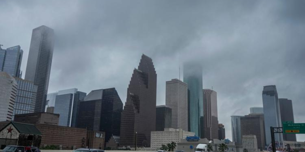
Another day of extreme heat is on the way for the New York City tri-state area, with temperatures pushing into the mid-90s and humidity making it feel near or above 100°F for many residents in the afternoon.
A heat advisory remains in effect through Friday afternoon for most of the region — covering all of New York, New Jersey, and Connecticut except for Eastern Suffolk County on Long Island and the Catskills and Poconos Mountains.
The heat will feel dangerous before storms arrive
It will be hot, it will be humid, and the combination will be brutal.
After two consecutive days of heat index readings this extreme, health officials are urging residents to limit time outdoors during the hottest part of the day.
Staying hydrated, avoiding strenuous activity, and seeking shade are essential steps to avoid heat exhaustion or heat stroke.
Those without access to air conditioning should find a local cooling center. Children, the elderly, and pets should never be left in parked vehicles.
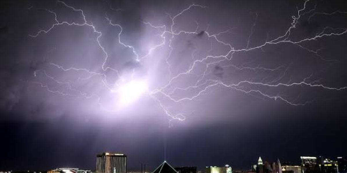
Strong to severe storms return Friday evening
Just like Thursday, the afternoon heat will set the stage for another round of storms.
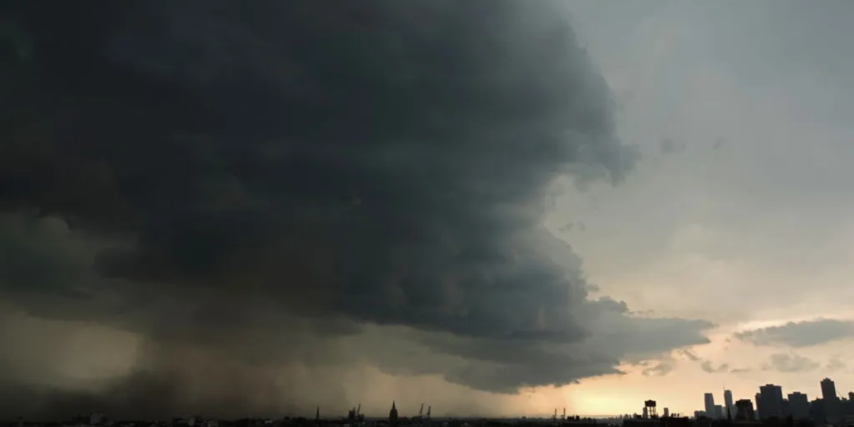
Strong to severe thunderstorms are expected to develop across the tri-state area during the late afternoon and carry on well into the evening hours.
Damaging straight-line wind gusts remain the primary concern this time around. Hail is also possible, and isolated pockets of flash flooding cannot be ruled out.
Rainfall rates could be intense in spots, which may cause problems for low-lying and flood-prone areas — even if widespread flooding is not expected.
Northern and central New Jersey are most likely to see the strongest wind gusts from these storms.
Timing matters — here’s what to watch
Storm timing will play a key role in how significant Friday evening’s weather becomes.
If storms arrive later in the evening, atmospheric instability may already be fading, which could limit how organized and intense they get. Storm chances have been lowered slightly for this reason — but the risk for a few strong to severe storms is still very real Friday afternoon and evening.
Keep an eye on local alerts and have a plan ready before heading out.
When does the heat finally break?
Saturday and Sunday will still be warm, with highs in the upper 80s and heat index values hovering near 90°F — but drier air moving in Friday night will make a noticeable difference.
The oppressive humidity that has made this week so dangerous will ease significantly by the weekend.
That is good news for two big events: the Knicks Game 5 NBA Finals watch parties Saturday night and the Puerto Rican Day Parade on Sunday afternoon. Both look to see mostly sunny and hot — but manageable — conditions.
Late Sunday, however, a cold front and upper-level disturbance could bring another round of showers and storms. The Storm Prediction Center has already placed New York City and areas north and west in a Slight Risk for organized severe weather that day.
True relief arrives Monday, when cooler air finally moves into the region and temperatures drop back to more normal levels for mid-June.
Stay weather-aware this weekend and check local alerts before making outdoor plans. Are you staying cool out there? Share how you’re handling the heat in the comments below.