North Central West Virginia residents need to act now — a round of severe weather is moving in Monday, and the threats are more varied than just heavy rain.
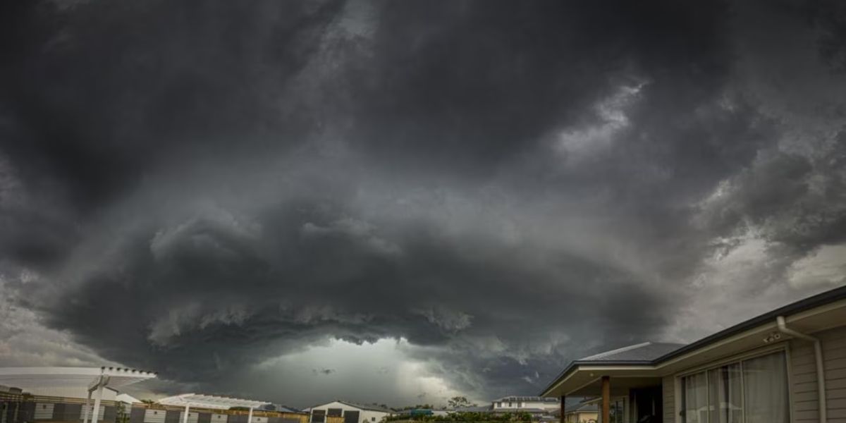
Meteorologists at the Storm Prediction Center are tracking a significant wind event for the Mountain State beginning Monday. For winds to be classified as severe, gusts must reach 60 mph — and forecasters say there is a 5% to 15% chance of that happening across North Central West Virginia. The mountain range faces an even higher risk, with a 15% to 30% probability of severe gusts.
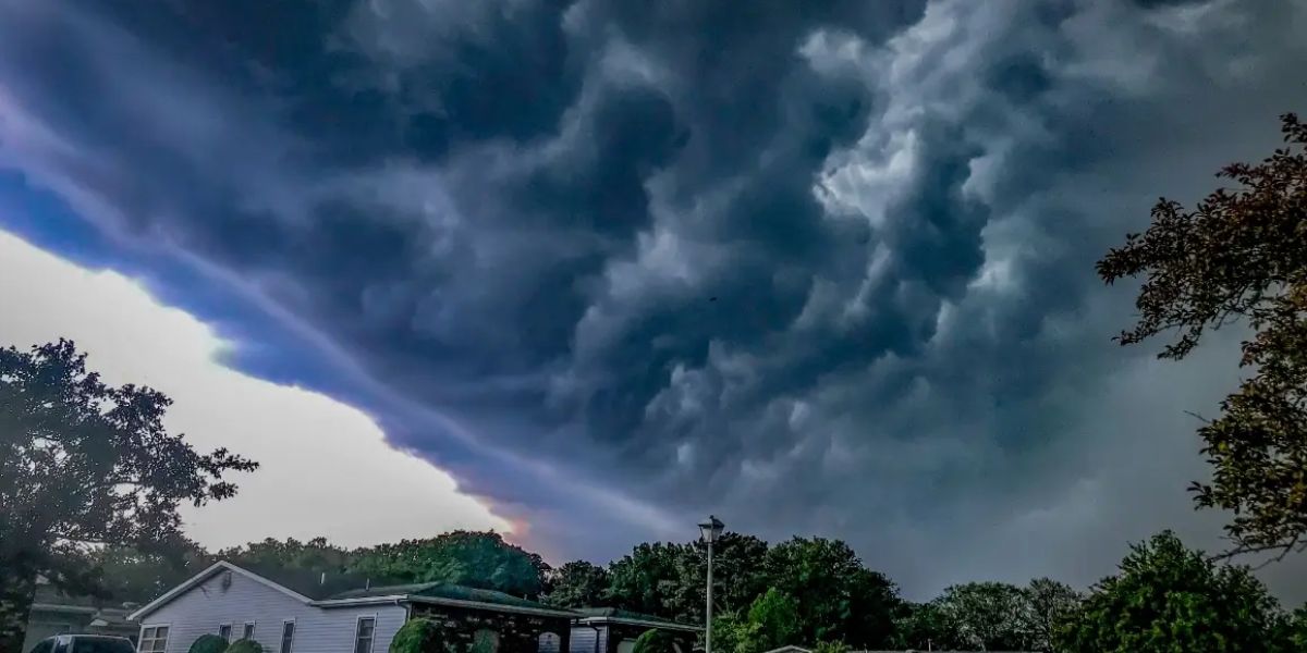
The most dangerous window is expected to run from Monday morning through midday. Heavy rain and thunderstorms will fuel the damaging gusts, meaning conditions could deteriorate quickly with little warning.
But wind may not be the only concern.
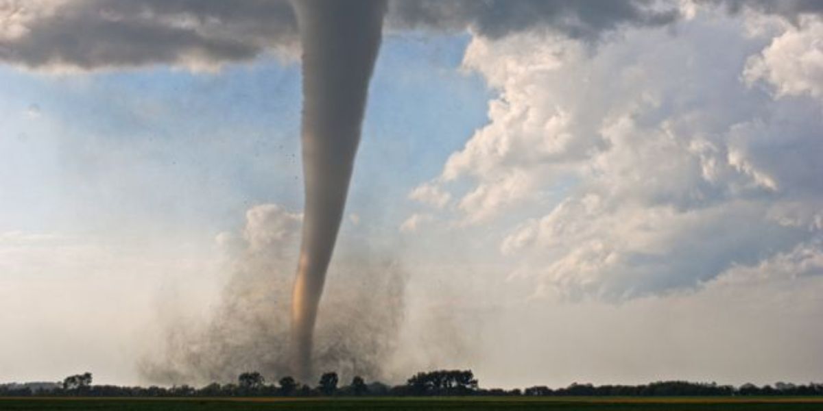
The Storm Prediction Center is also flagging a tornado threat just to the northeast of the region. While the direct chance of a tornado touching down in NCWV remains slim based on current data, forecasters are not ruling out rotating clouds. Increased wind shear — a condition where winds shift direction at different altitudes — creates the right environment for rotation to develop. Residents should monitor weather alerts closely throughout Sunday night and into Monday.
Here is what you should do before Monday arrives:
- Charge your phone and have a backup battery ready
- Identify a safe interior room on the lowest floor of your home
- Avoid travel during peak storm hours if possible
- Keep alert notifications turned on for your county
Once the storm clears, relief is on the way. Tuesday and Wednesday are expected to bring sunny skies, lower humidity, and temperatures in the mid-to-upper 70s — a welcome break before warmth and moisture return Thursday.
Do not wait for conditions to worsen before taking precautions. Monday morning could move fast.
Stay with local weather updates for the latest information.