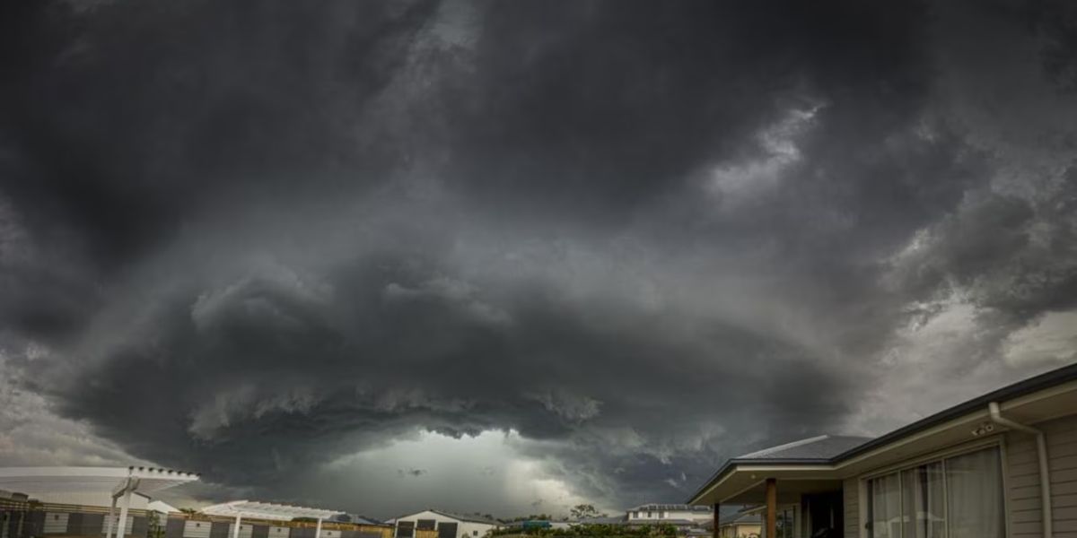
A welcome break in the weather arrives Tuesday, but forecasters say residents should not get too comfortable — another powerful frontal system is already on its way.
The cold front responsible for widespread rain and storms has pushed east, and relief is finally here. Tuesday brings a gradual clearing across the region, though a few lingering showers and patchy fog will remain in the eastern mountains through the morning hours before drier air takes hold.
By afternoon, skies will turn mostly sunny. Comfortable humidity returns alongside highs in the mid to upper 70s at lower elevations and mid 60s to low 70s in the mountains — a refreshing contrast to the stormy conditions of recent days.
Tuesday 70s–77°F Clearing skies, drying out
Wednesday 78–82°F Sunny, cool morning start
Thursday Low 80s Warmer, isolated storm risk
Fri–Sat Unsettled Scattered showers & storms
Wednesday is shaping up to be the best day of the stretch. Clear skies and low humidity will send overnight temperatures unusually low — upper 40s to low 50s by morning — before afternoon highs rebound into the upper 70s to low 80s in the valleys and upper 60s to mid 70s in the mountains.
The calm, however, will be short-lived. A new frontal system is already tracking toward the eastern United States. The warm front is expected to arrive Thursday, nudging temperatures upward and increasing humidity noticeably. Most areas will likely stay dry Thursday, but isolated showers and storms cannot be ruled out.
The cold front associated with this system is expected to sweep through Friday, triggering scattered showers and storms. Wet conditions are likely to continue into Saturday as the same weather boundary stalls nearby. Residents planning outdoor activities this weekend should monitor forecasts closely.
Enjoy the next few days of sunshine while they last — the pattern is about to shift again heading into the weekend.