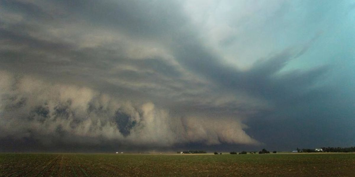
A dangerous and fast-moving atmospheric development is raising serious alarm across Kentucky, Indiana, Illinois, Missouri, and surrounding states as an unexpectedly powerful surge in storm energy is pushing well past what forecasters had predicted only hours ago — forcing a significant upgrade to tonight’s severe weather outlook.
What changed — and why it matters
Earlier forecast models severely underestimated how unstable the atmosphere would become heading into this evening. Real-time atmospheric measurements are now running dramatically higher than model guidance indicated, meaning the storm system now has significantly more fuel available to strengthen as it moves through the region tonight.
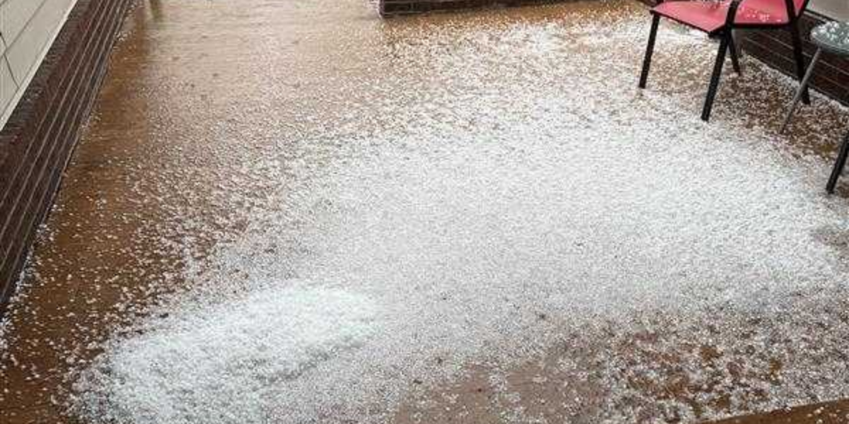
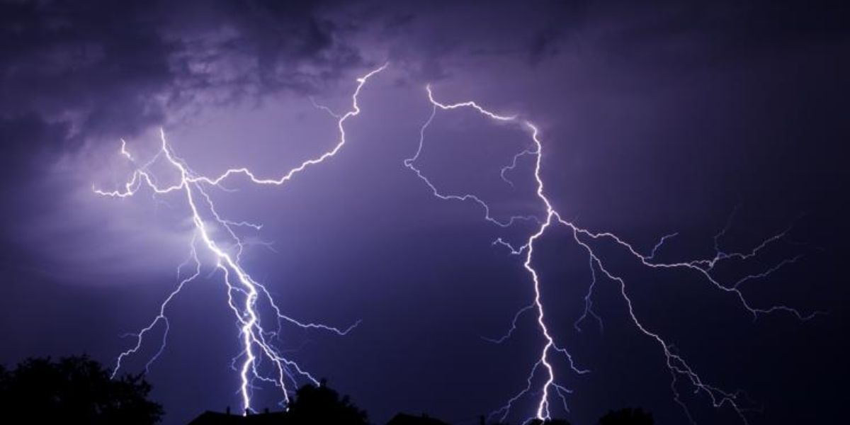
The metric forecasters track most closely — Convective Available Potential Energy, or CAPE — measures how much explosive energy is stored in the atmosphere. Higher CAPE means storms can intensify faster, produce stronger winds, larger hail, and more dangerous lightning.
By the numbers — CAPE readings right now
| Location | CAPE Reading |
|---|---|
| Memphis, Tennessee | 1,653 J/kg |
| Chattanooga, Tennessee | 850 J/kg |
| Columbia, Missouri | 781 J/kg |
| Mount Vernon, Illinois | 683 J/kg |
The Memphis reading of over 1,600 J/kg is particularly alarming — well into the range that meteorologists associate with significant severe storm potential. These values are not forecast numbers. They are what the atmosphere is doing right now.
Who needs to pay attention tonight
Residents near St. Louis, Louisville, Paducah, Memphis, and surrounding communities across the Missouri and Ohio Valley corridors face the highest risk as the storm line moves through during the late evening and overnight hours — a window when many people are asleep and less likely to receive warnings in time.
Forecasters are urging all residents in the affected zone to charge their phones, activate wireless emergency alerts, and have a shelter plan ready before going to bed tonight. Do not wait for a warning to begin preparing.