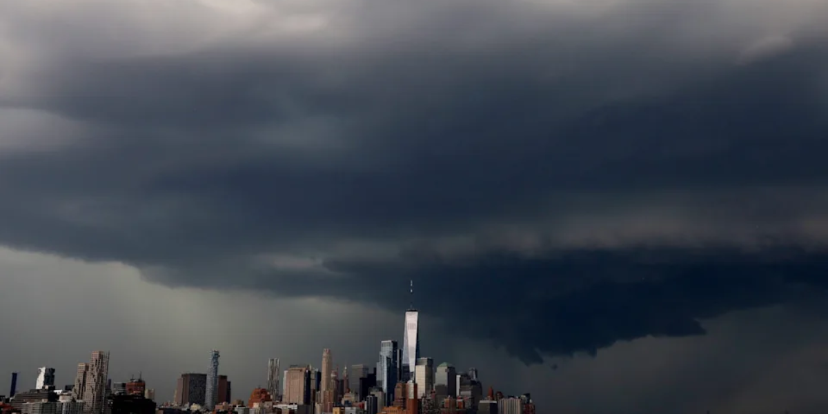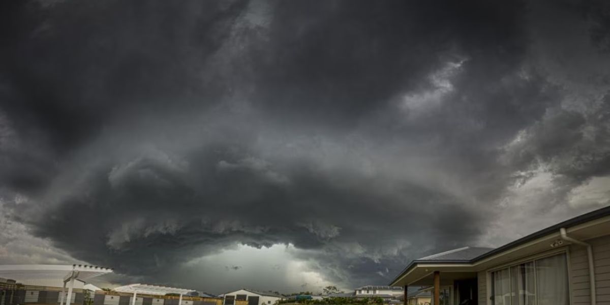
A powerful storm system is headed straight for New Jersey on Monday, bringing the threat of severe thunderstorms, dangerous flash flooding, and even a possible tornado — and officials are urging residents to prepare now.
After a calm and sunny Father’s Day Sunday, conditions will change dramatically. Rainfall rates on Monday afternoon and evening could reach 1 to 1.5 inches per hour, with some isolated areas seeing up to 2 inches per hour. Total rainfall accumulations of 2 to 3 inches are possible across parts of the state.
KEY THREATS MONDAY
- Flash flooding — rainfall up to 2 in/hr in some areas
- Damaging wind gusts — especially in southern counties
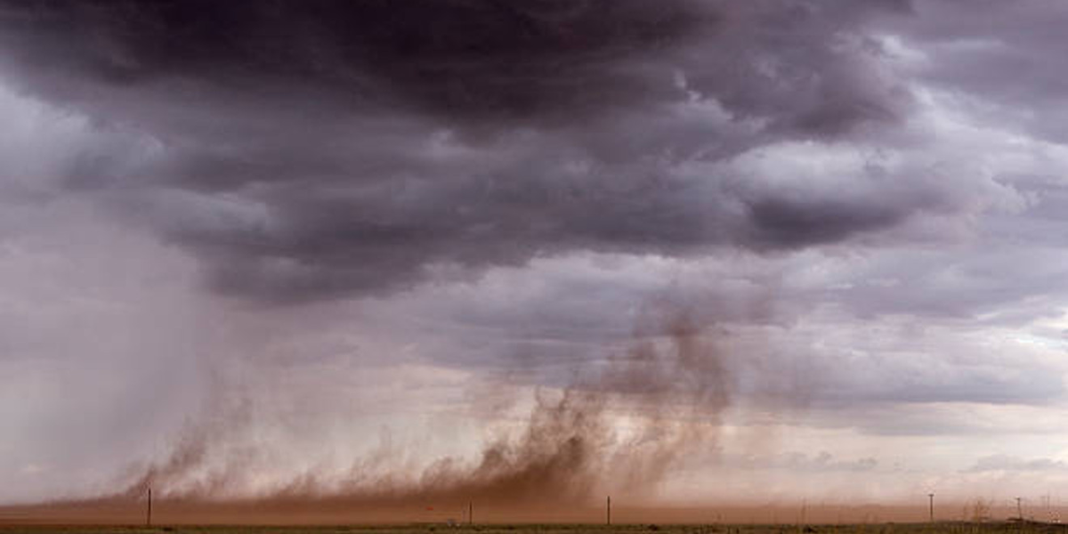
- Isolated tornado possible — cannot be ruled out
- Rip current risk at NJ beaches increases to moderate
The Weather Prediction Center has placed areas along and north of the I-95 corridor under a slight risk — level 2 of 5 — for excessive rainfall. Southern counties face an additional threat: damaging wind gusts are the primary concern there, though forecasters say an isolated tornado cannot be ruled out.
The exact storm track remains uncertain. A more northern path would concentrate the heaviest rain over northwest New Jersey, while a southern shift could push more rainfall toward the I-95 corridor. Winds will increase Monday, with gusts near 20 mph possible along the Jersey Shore ahead of the storms. Highs will hold in the upper 70s to low 80s.
One factor that may partially reduce flooding risk: New Jersey is currently experiencing a region-wide drought, which could allow the ground to absorb some of the initial rainfall. However, officials warn that extremely high rainfall rates can overwhelm even dry ground quickly.
The severe weather threat is expected to ease by Tuesday, though scattered showers may linger as the system slowly exits. Wednesday looks dry, but another round of storms is possible by Thursday.
Residents are urged to avoid flood-prone roads, stay off beaches on Monday, and monitor local emergency alerts closely as the storm approaches.