New Jersey residents are being urged to stay alert as a powerful storm system is set to move through the state Monday afternoon and evening, bringing with it the threat of flash flooding, damaging winds, and an isolated tornado.
The National Weather Service has issued a warning for severe thunderstorms expected to develop between 3 p.m. and 11 p.m., with the storms first targeting northern New Jersey during midafternoon before spreading statewide through the evening hours.
What to Expect
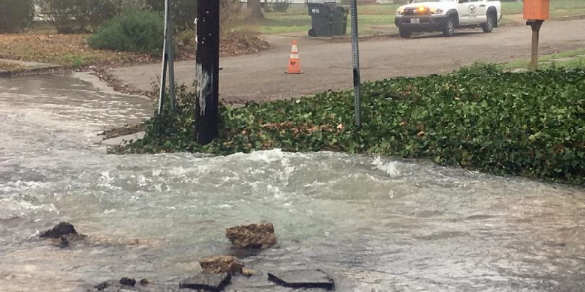
Forecasters say rainfall could reach 1 to 2 inches per hour during the heaviest downpours — a rate fast enough to overwhelm storm drains and flood roads within minutes.
While damaging winds are considered the primary threat, meteorologists have not ruled out the possibility of a tornado touching down somewhere in the state.
Storms are expected to initially form as isolated cells before merging into larger clusters, which can make them more intense and harder to predict.
Beach Warning in Effect
Beachgoers along the Jersey Shore should stay out of the water Monday. A high risk of rip currents has been issued for Ocean, Atlantic, and Cape May County beaches from 8 a.m. to 8 p.m. Monmouth County beaches are under a moderate rip current risk.
Who Is at Risk
The Storm Prediction Center has placed nearly all of New Jersey under a Level 2 out of 5 (Slight Risk) for severe weather — meaning widespread storm coverage is expected and at least some storms will be severe.
Highs before the storms arrive will reach the 70s to low 80s.
Rest of the Week
Conditions are expected to improve by Wednesday and Thursday, with dry and sunny skies and temperatures pushing into the 80s. However, another round of showers and thunderstorms could return as early as Friday into Saturday as a second cold front approaches the region.
Residents are advised to charge devices, avoid unnecessary travel Monday evening, and have an emergency plan ready in case of a tornado warning in their area.