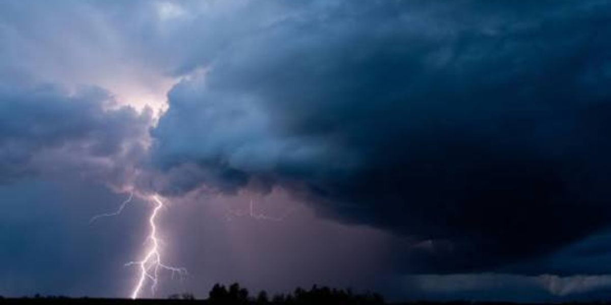
SIOUX FALLS, South Dakota — A serious severe weather setup is taking shape for Tuesday, and forecasters say residents across South Dakota and southwestern Minnesota need to be paying close attention before evening arrives.
A Level 2 slight risk of severe weather has been outlined for central and eastern South Dakota stretching into southwestern Minnesota for Tuesday, July 7. A broader marginal risk area extends into Minneapolis, Omaha, and Lincoln.
Why This Storm Setup Is Being Watched Closely
Forecasters say pre-frontal heating combined with deep moisture and steep lapse rates will drive rapid destabilization throughout the day.
A capping air mass is expected to suppress storm development through the afternoon. But once that cap breaks down in the early evening hours, thunderstorms are expected to fire quickly.
The initial threats are severe hail and damaging wind.
Overnight Is When the Threat Grows
This is where the setup gets more serious.
A strengthening low-level jet overnight is expected to fuel the growth of discrete supercells, which forecasters say will then grow upscale into a larger, more organized storm complex as the night progresses.
That kind of overnight evolution is a known pattern across the Plains — and it typically brings an increasing wind threat as the system consolidates and pushes east-southeastward.
Who Needs to Stay Alert
The primary zone of concern runs through Sioux Falls and northwest toward Rapid City. But as the storm complex tracks overnight, areas including Des Moines and the Minneapolis region could also see impacts before Wednesday morning.
Residents across South Dakota, southwestern Minnesota, and the surrounding region should monitor weather alerts closely as this system develops through Tuesday and into the overnight hours.
Are you in the path of Tuesday’s storm system? Share your location in the comments and let your neighbors know what you are seeing on the ground.