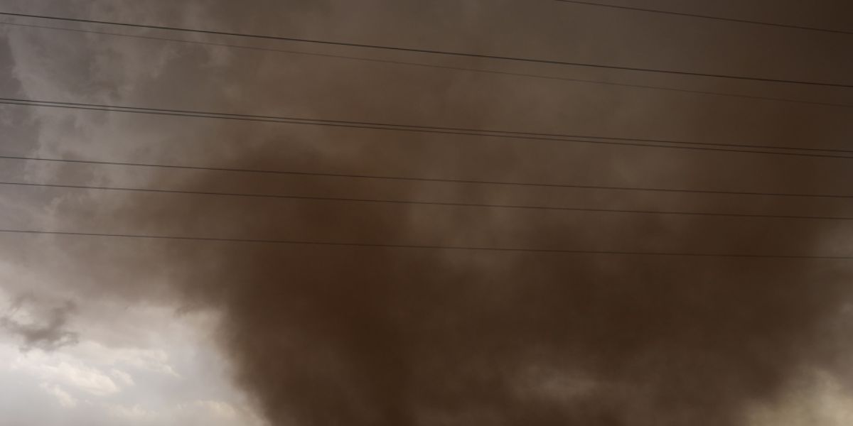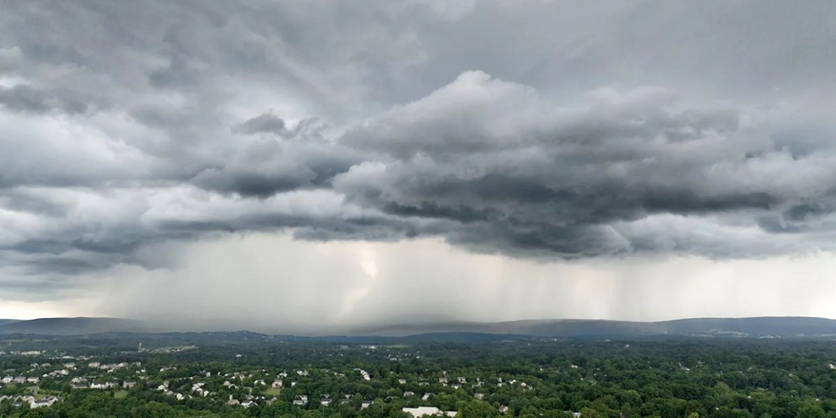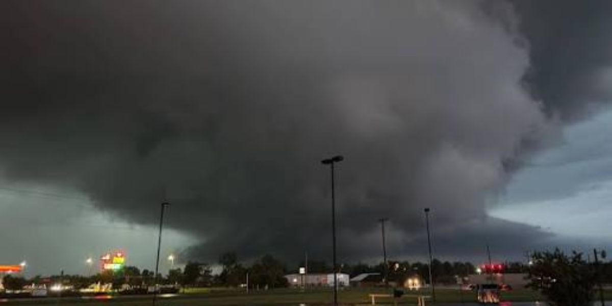
TOLEDO, OHIO — Forecasters are tracking a developing cluster of strong to severe thunderstorms expected to sweep across the Great Lakes and Ohio Valley region on Saturday evening, with damaging wind gusts flagged as the biggest concern heading into the weekend.
Storm System Expected to Stretch From Chicago to Upstate New York
According to forecast models valid for Saturday, July 18th around 11 p.m. EDT, the severe weather cluster is projected to extend from the Chicago and Indianapolis area, cutting through Toledo, Cleveland and Youngstown, before pushing into Buffalo, Rochester, Ithaca and Syracuse in New York. The system is forming behind a low-pressure zone tracking near the Canadian border.
Damaging Winds Seen as the Top Concern
Weather officials say the greatest risk from this storm cluster will come from widespread destructive wind gusts, which are expected to develop as the storms move alongside and ahead of the low-pressure system pushing through the Great Lakes region Saturday evening.
Large Hail and a Tornado Threat Cannot Be Ruled Out
Along with the wind threat, forecasters caution that large hail and an isolated tornado remain possible as the storm system strengthens and tracks through Ohio, Pennsylvania, and western New York overnight Saturday.
Forecast Details Expected to Sharpen Closer to the Weekend
Since the storm system is still several days away, meteorologists say the exact timing and areas most at risk will become clearer as Saturday nears. Residents across Ohio, Indiana, Pennsylvania and western New York are being advised to keep an eye on updated forecasts from the National Weather Service as this severe weather threat develops.