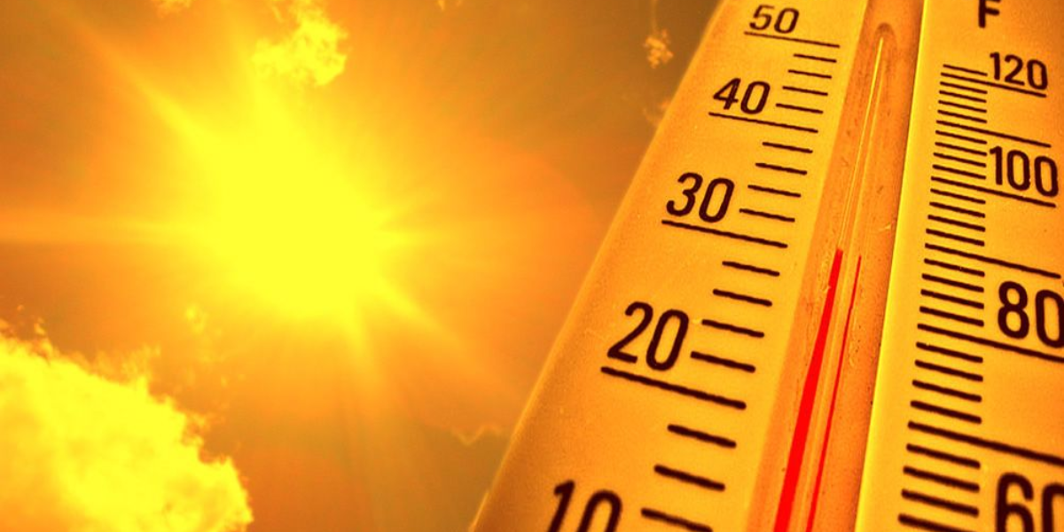
New Jersey is in the grip of one of its most brutal heat events in decades. On Thursday, temperatures surged as high as 105 degrees Fahrenheit in multiple locations — a level of heat rarely seen across the state and one that has now rewritten the record books.
At Newark Liberty Airport, the thermometer hit 104 degrees, smashing the previous July 2 record of 102 degrees that had stood since 1966. The city of Newark’s own record for that date — 103 degrees, set all the way back in 1901 — also fell Thursday afternoon. Down in Atlantic City, temperatures climbed to 103 degrees, easily surpassing the airport’s prior July 2 high of 100 degrees, also from 1966. In Trenton, a reading of 100 degrees tied a record dating back to 1901.
- 105° in East Brunswick (Middlesex County)
- 105° in Piney Hollow (Gloucester County)
- 105° in Woodland Twp. (Burlington County)
- 104° in Berkeley Twp. (Ocean County)
- 104° in Hamilton (Mercer County)
- 104° in Hammonton (Atlantic County)
- 104° in Hillsborough (Somerset County)
- 104° at Newark Liberty Airport (Essex & Union)
- 104° in New Brunswick (Middlesex County)
- 104° in Vineland (Cumberland County)
- 104° in Cape May Court House (Cape May County)
- 103° at Atlantic City International Airport (Atlantic County)
- 103° in Sicklerville (Camden County)
- 103° in South Harrison (Gloucester County)
- 103° in Wall Twp. (Monmouth County)
- 103° in Wrightstown (Burlington County)
- 102° in Basking Ridge (Somerset County)
- 102° in Caldwell (Essex County)
- 102° in Morristown (Morris County)
- 102° in Somerville (Somerset County)
For context: New Jersey’s all-time hottest temperature on record is 110 degrees, logged in July 1936 in Old Bridge. Thursday’s readings came uncomfortably close to that historic mark in some areas.
And the danger is far from over. Forecasters say triple-digit heat and suffocating humidity are expected to continue through Friday and Saturday. Making matters worse, a threat of severe thunderstorms is building — with forecasters flagging risks of large hail, damaging winds, and heavy downpours during the late afternoon and early evening hours both days. The intense heat could add extra energy to any storms that develop, meaning some could hit hard and fast.
The dangerous conditions have already forced several Fourth of July events across New Jersey to be canceled or pushed back. Residents are urged to stay indoors during peak heat hours, check on elderly neighbors, and stay alert for any storm warnings issued by the National Weather Service.