TAMPA, FL — Scattered showers are moving eastward off the Gulf of Mexico toward the Tampa Bay region on Tuesday, with radar showing multiple storm cells tracking toward the coastline. Communities from Spring Hill and Dade City in the north to Sarasota and Bradenton in the south are all within the path of this incoming Gulf moisture.
What’s moving in right now
Radar is picking up a mix of shower activity across a wide stretch of west-central Florida’s coastline. Weaker, more scattered cells are showing up near communities north of Tampa Bay, while additional shower clusters are developing further south near the Sarasota and Bradenton areas. The movement is eastward, meaning coastal communities are likely to see rain before inland areas do.
Why the weather is about to change dramatically
Later this week, the region is expected to receive its first arrival of Saharan dust for the season — a massive plume of dry, fine particles that travels thousands of miles across the Atlantic from the African continent each summer. When this dust layer settles over Florida, it creates a drier and more stable atmosphere that effectively suppresses the storm and shower activity that Tampa Bay residents have come to expect during summer afternoons.
What residents should expect
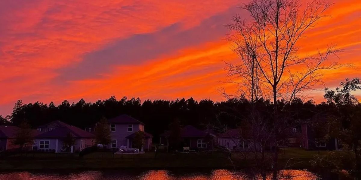
Forecasters say today’s Gulf-driven showers may be one of the final rounds of active rain chances before that drier air takes hold. Once the Saharan dust moves in, expect noticeably reduced rain chances compared to the typical scattered afternoon storm pattern seen recently. The dust can also make the air feel hazy and may produce more vivid-looking sunrises and sunsets across the region in the days ahead.
Residents are advised to monitor local forecast updates throughout the week as conditions are expected to shift significantly.