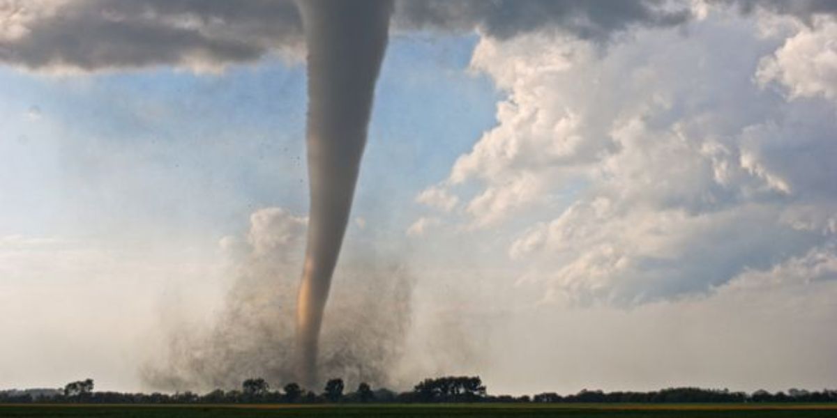
DETROIT, Michigan — Conditions across southeastern Michigan are turning dangerous this morning, and they are moving fast.
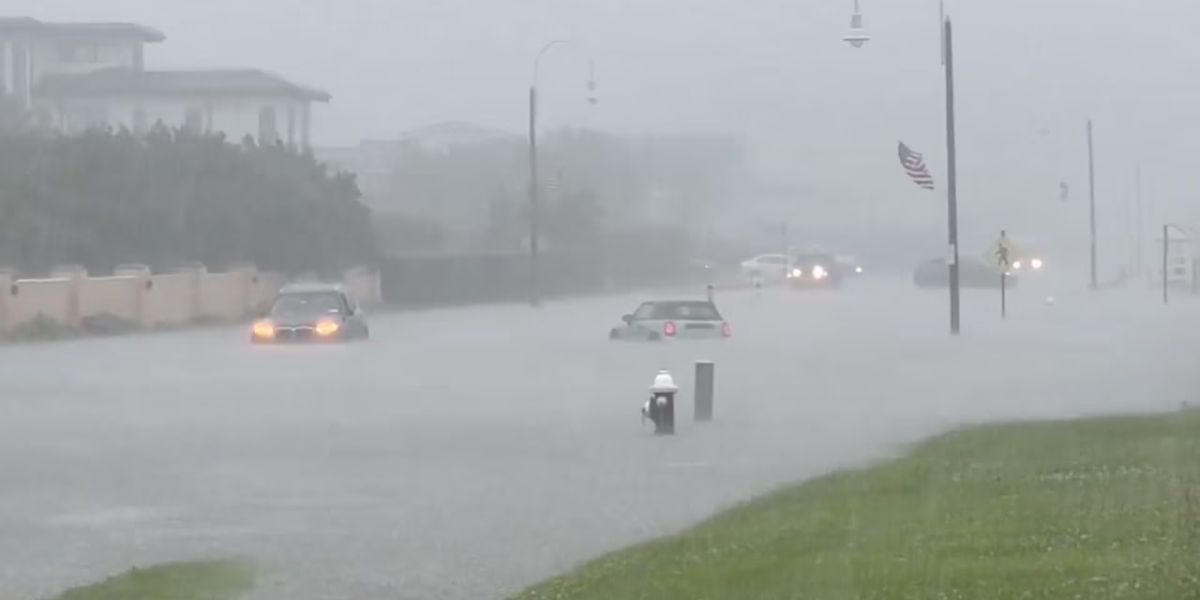
Heavy rain has been falling since early morning, with radar showing rates of 2 to 3 inches per hour in the worst-affected zones. Ground saturation is already at a critical level — meaning the soil cannot absorb any more water. That is when flash flooding can develop within minutes.
The Areas Getting Hit the Hardest
The most intense rainfall is concentrated in a corridor from Coldwater and Adrian through Monroe toward Toledo.
Radar is showing deep red and orange returns across this zone — a sign of the heaviest activity. Frequent lightning strikes are also embedded within the core, adding another layer of danger for anyone still outdoors.
Detroit and the broader metro area are seeing lighter but still significant rain on the northern edge of the storm.
Flood Advisories Are Already in Effect
Several southern Michigan counties are already under flood advisories as of this morning.
Forecasters are actively watching conditions. If rainfall rates hold, flash flood warnings could follow. The highest-risk areas are those already fully saturated — particularly the Coldwater through Monroe corridor.
This May Not Be Over by Afternoon
Current storms are expected to weaken temporarily as they push east. But forecasters warn that redevelopment is possible to the west later in the day.
The threat window extends beyond this morning. Stay weather aware throughout the day. Avoid low-lying roads and never drive through standing water.
If it looks flooded, turn around. No destination is worth the risk.
Are you seeing flooding near you right now? Drop what conditions look like in your area in the comments below.