MOUNT VERNON, Ill. — Forecasters are sounding the alarm for south central and southeast Illinois tonight, Sunday, June 21, as a dangerous weather setup takes shape along the Interstate 64 corridor — and the clock is ticking.
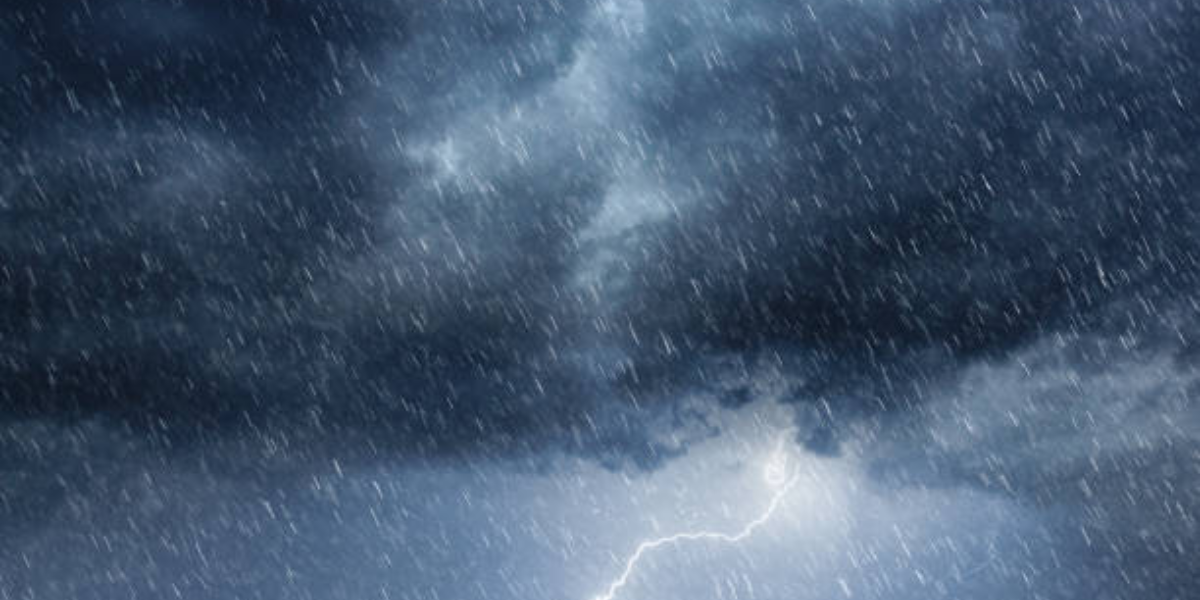
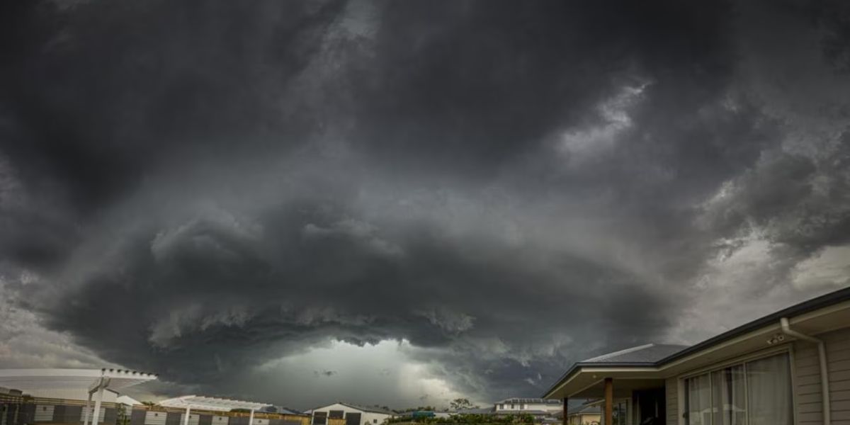
A stalled atmospheric boundary stretching between Mount Vernon and Olney has become the focal point for a rapidly developing tornado threat this evening. As the first line of storms weakens and spreads out, it is clearing the way for brand-new supercells to fire off the southwest flank of the boundary — a setup storm chasers and meteorologists refer to as a “Tail End Charlie,” widely considered among the most dangerous configurations in severe weather.
What makes tonight especially concerning is what these fresh cells are moving into: pockets of far better thermodynamic energy and stronger wind shear across south central Illinois — exactly the ingredients that allow supercells to intensify quickly and produce tornadoes with little warning.
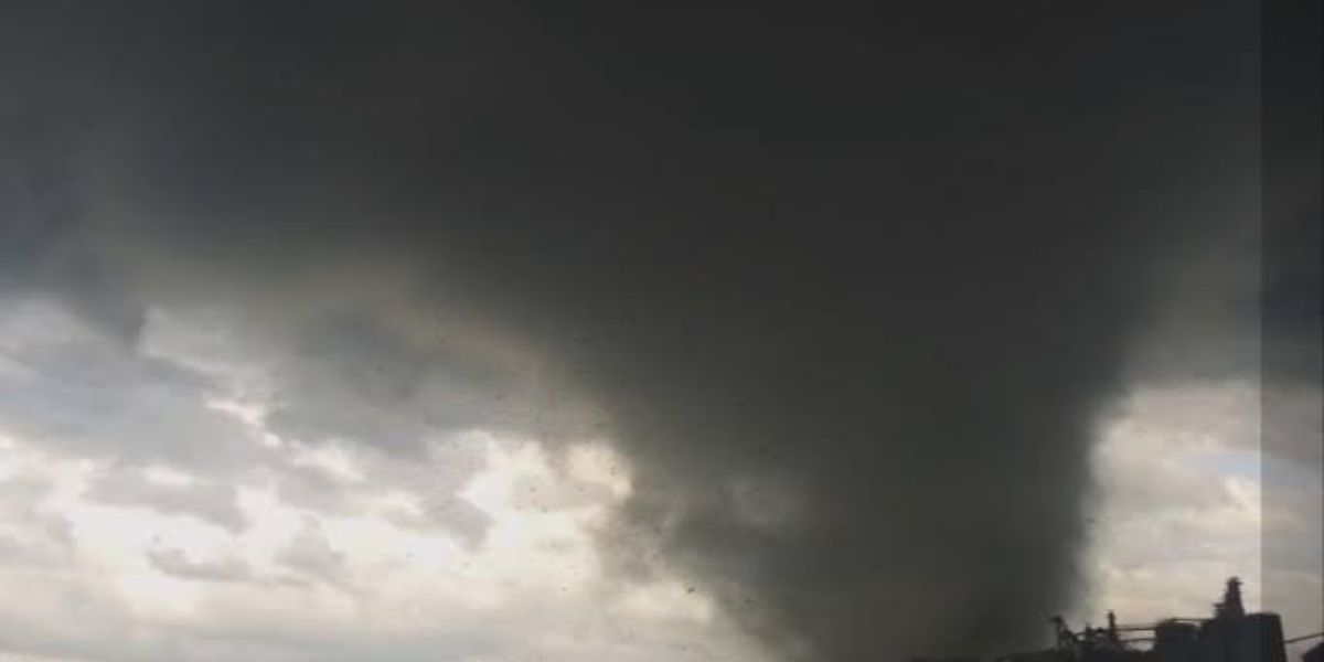
Tornado probability guidance is not subtle. Forecasters are showing a 50 to 90 percent tornado probability centered directly over Mount Vernon between 5 and 6 p.m. CDT. That window is narrow — but it is fast approaching. Elevated probabilities extend outward toward Effingham, Greenville, Kinmundy, Norris City, and Olney, meaning no community along this corridor should consider itself out of the threat zone.
Radar simulation data for 6 p.m. is already showing strong, organized storm cells tracking through the Mount Vernon and Kinmundy area and pushing northeast toward Norris City.
Forecast teams have deployed across the region, with crews positioned near Olney and command operations handling live updates as conditions continue to evolve through the evening.
Residents across Mount Vernon, Olney, Effingham, Greenville, and all surrounding communities are urged to act now:
- Identify your nearest shelter immediately
- Charge your devices
- Keep a battery-powered weather radio on
- Do not wait for sirens — seek shelter at the first tornado warning issued for your county
Tonight is not a night to watch from your window. Get low, get inside, and stay there until the threat has passed.
Stay weather aware through the evening. Conditions are evolving rapidly.