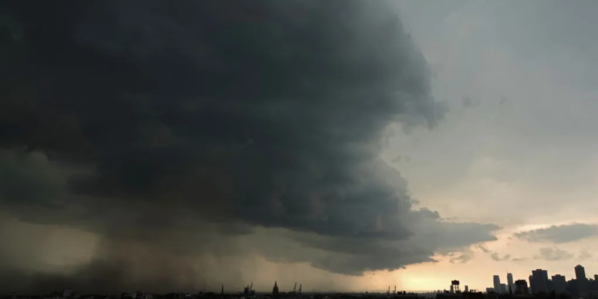
A rare and disorienting weather setup is unfolding across West Kentucky Thursday evening — one that forecasters say is difficult to predict precisely because the storms are moving in the wrong direction. Instead of the typical west-to-east track, this system is spinning backward out of Tennessee and pushing northward into western Kentucky, catching residents in its path with limited warning time.
Meteorologists say damaging winds are the primary and only significant hazard with this system. Hail and tornado threats are not expected to materialize, but the wind risk is real and concentrated in a tight four-hour window between 5 and 9 p.m. ET — meaning conditions could deteriorate and clear relatively quickly, but the damage potential during that stretch is not to be dismissed.
The backward motion of the system is what has forecasters most concerned about precision. When storms track against the normal weather pattern, the usual modeling tools become less reliable, and the exact reach of the storms into Kentucky remains uncertain heading into the evening hours.
Who is in the risk zone
Marginal risk
Murray · Gallatin · Areas south of Paducah · Far western KY · Northern TN
Slight risk
Evansville · Bowling Green · Louisville · Radcliff · Hartford · Dixon · Vincennes · Jasper · Fairfield
A lower-end marginal zone extends farther north into Illinois, covering Effingham, Salem, and Madison, where isolated impacts remain possible but less likely.
What residents should do now
Anyone in the marginal or slight risk zones should charge devices, secure any loose outdoor items, and stay close to a weather alert source through the evening. Because the storm’s path is harder to predict than normal, conditions in your specific area could change with less advance notice than typical storm systems would provide.
Avoid being out on the road between 5 and 9 p.m. if possible, particularly in areas south and west of Paducah where the risk is highest. The National Weather Service will issue updated statements as the system approaches, and wireless emergency alerts may activate for the hardest-hit zones.