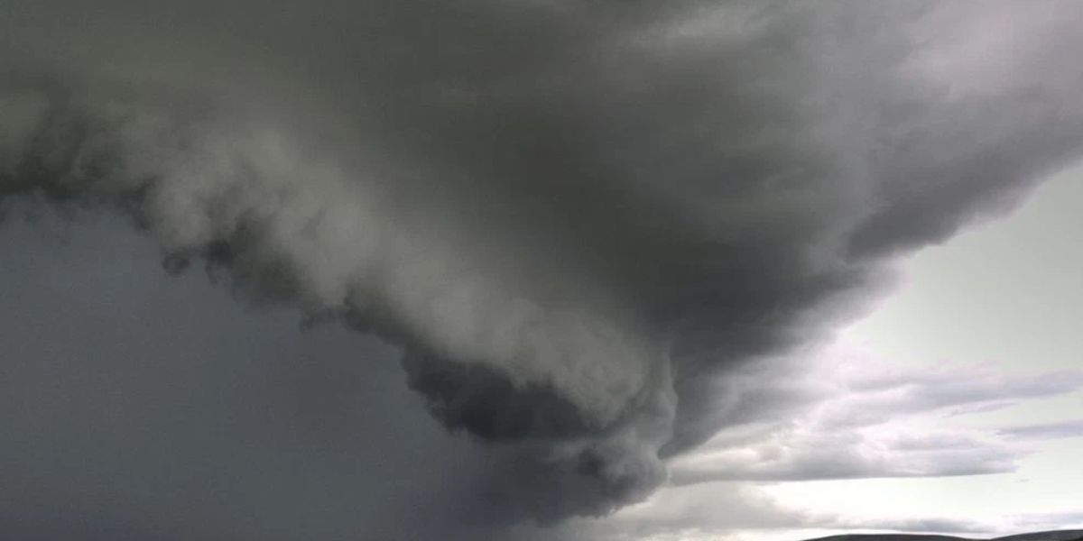
HARTFORD, Connecticut — Southern New England is getting a brief breather from the heat this Sunday — but do not get too comfortable. Storms are already on the way, and a heavier system is right behind them.
Storms Developing Sunday Evening
Scattered showers and storms are expected to fire up across the region as the evening progresses.
The heaviest activity is aimed at southern Connecticut, Long Island, and the coastline. Isolated stronger cells are also possible near the New York City metro area and into parts of Rhode Island.
Central and northern Connecticut and Massachusetts can expect lighter, more scattered coverage — but activity is expected to become more widespread as the night moves on.
A Welcome Cool-Down, But Humidity Lingers
Today’s highs are running in the upper 70s to mid 80s — a noticeable step down from the heat that gripped the region heading into the holiday weekend.
Humidity is still present, but forecasters describe it as meaningfully less intense than recent days. It is not comfortable, but it is an improvement locals will notice.
Bigger Rain Coming Monday and Tuesday
The more serious concern is what comes after tonight.
A significant rain event is expected to push through the region on Monday and Tuesday. Forecasters are still tracking the timing and potential impacts of that system, with additional details expected to be released soon.
Residents across Southern New England should monitor updates closely as the work week begins.
Are you prepared for the heavy rain heading your way Monday? Share what the weather looks like in your area in the comments below.