Houston residents should brace for punishing heat before the storms arrive. Highs will reach the mid-to-upper 90s this weekend, but the real danger lies in the heat index — forecasters warn it could soar above 106°F when humidity is factored in.
The muggy conditions will persist throughout the day, raising serious concerns for those spending time outdoors, especially children, the elderly, and anyone without reliable air conditioning. Health officials advise limiting outdoor activities during peak afternoon hours and staying well-hydrated.
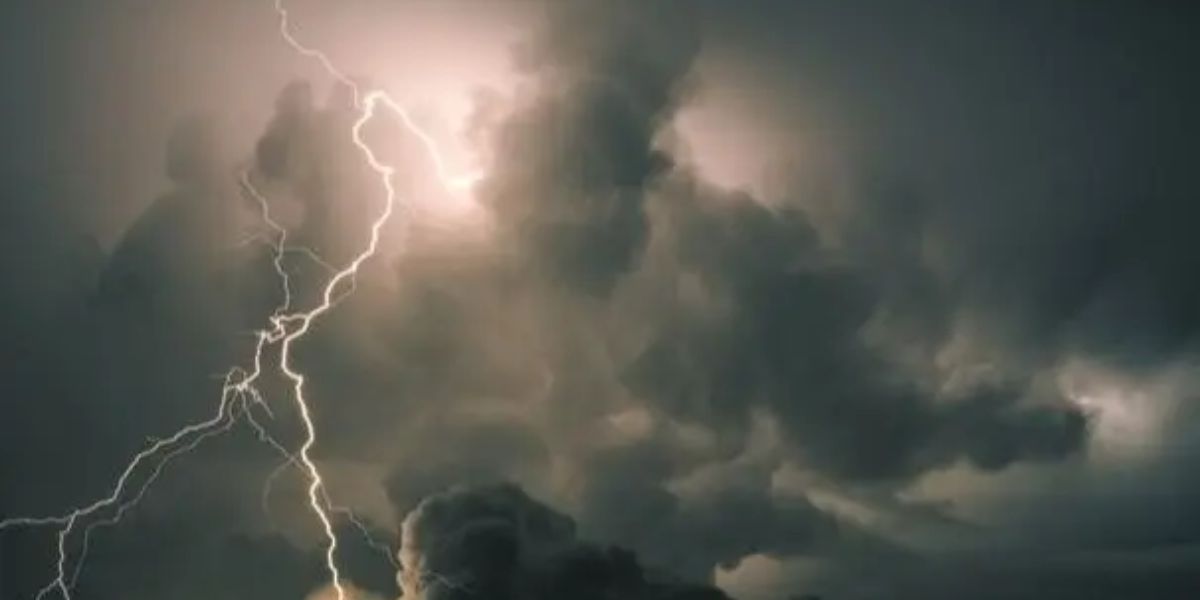
While most areas will stay dry, isolated afternoon storms cannot be ruled out, bringing brief but intense downpours and frequent lightning strikes.
The week ahead
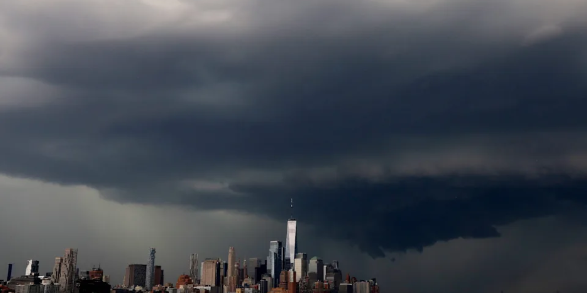
The real weather shift arrives Monday. A surge of deep Gulf moisture will push inland, dramatically increasing storm coverage across Southeast Texas through Tuesday. Scattered showers and storms are expected throughout both days, with some areas receiving multiple rounds of rainfall.
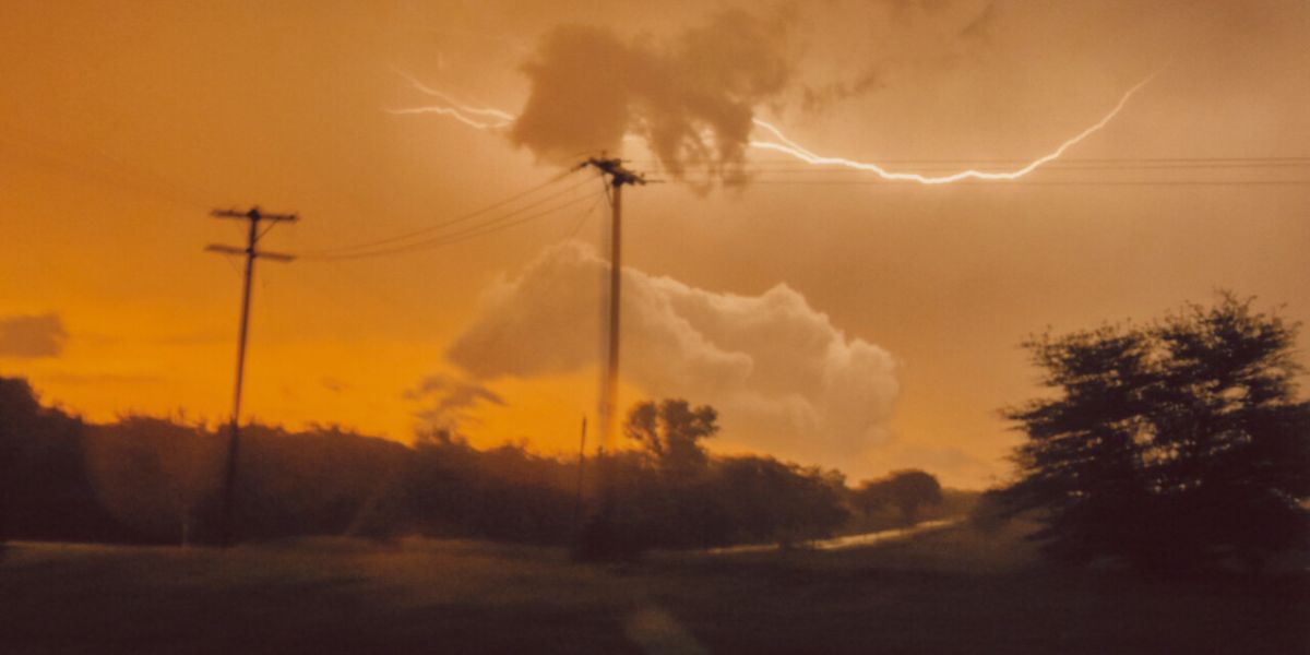
Meteorologists caution that while it will not be a complete washout, conditions will be unpredictable. Lightning remains the primary hazard — anyone outdoors should seek shelter immediately upon hearing thunder. Temperatures will stay stubbornly in the 90s through the entire week, offering little relief even between rain events.
Tropical activity
Saharan dust is keeping the tropical Atlantic, Caribbean Sea, and Gulf of Mexico quiet. No tropical development is expected for at least the next seven days.
Stay safe
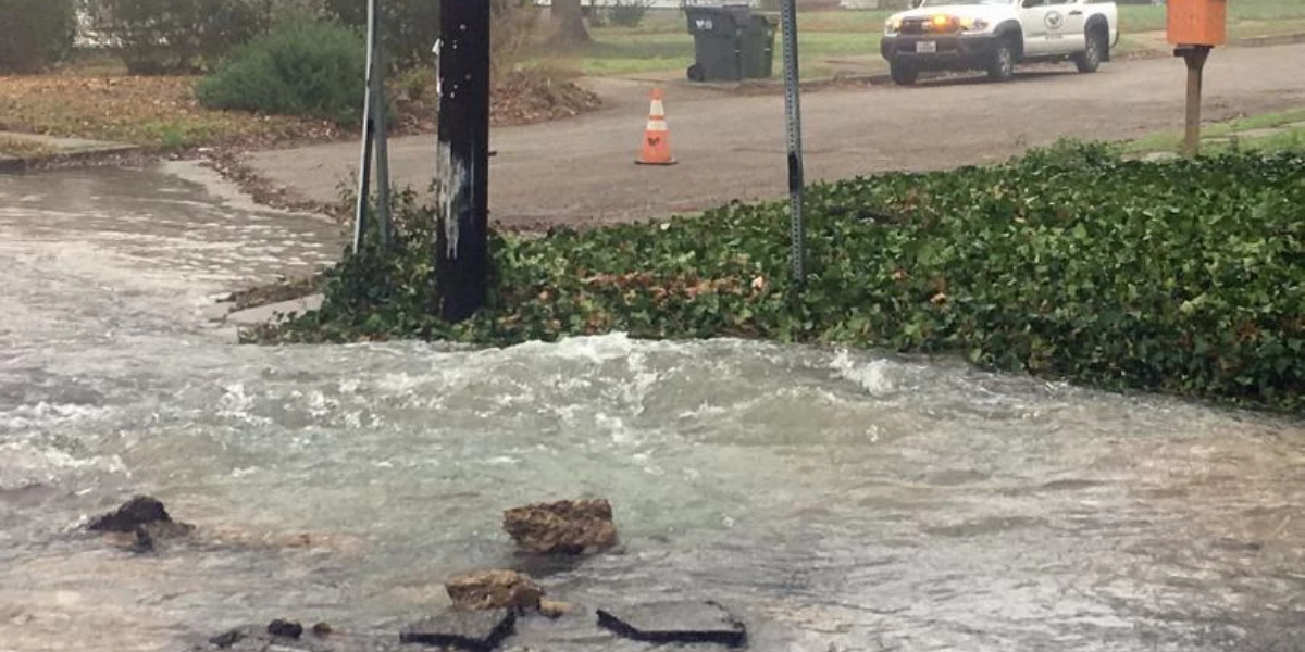
Residents are urged to monitor local forecasts closely, keep emergency kits ready, and avoid low-lying areas prone to flash flooding during heavy rain events. If severe weather warnings are issued for your area, take them seriously and move indoors immediately.