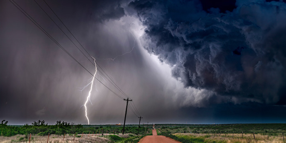
St. Louis, MO- A dangerous severe weather setup is taking shape for Sunday across the central Plains and Mid Mississippi Valley, with forecasters warning of large hail, damaging winds, and a real chance of tornadoes touching down before the day is over.
The threat begins early, with a morning storm cluster expected to fire up across Kansas and western Missouri. As that system pushes east through the day, it could trigger a fresh round of storms stretching from northeast Oklahoma all the way to St. Louis.
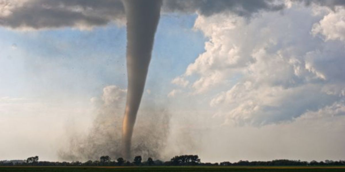
What has forecasters most concerned is a developing surface low expected to form over eastern Missouri and push into central and southern Illinois. If the system strengthens the way current models suggest, the tornado threat could increase significantly through the afternoon and evening hours.
Farther west, the central High Plains are dealing with a separate concern. A shortwave trough moving through the region is expected to fuel scattered but potentially intense storms, with supercells capable of producing large hail and damaging wind gusts. Forecasters caution that exact details are still uncertain at this range, but say the signal is strong enough to watch closely in the coming days.
A Slight Risk for severe weather now stretches across a wide swath of the country, covering parts of Colorado, Kansas, Missouri, Illinois, Oklahoma, and Arkansas. Major cities sitting inside that outlook include Wichita, Kansas City, St. Louis, Springfield, Tulsa, and Oklahoma City.
Residents across the outlook area are urged to stay weather-aware Sunday and have a way to receive emergency alerts, especially during the afternoon and evening when storms are expected to be most active.