Charleston, West Virginia – West Virginia is running out of time to prepare. A stretch of calm, comfortable weather is giving residents one final window before what forecasters describe as a potentially dangerous round of severe thunderstorms and heavy rainfall begins moving into the state.
Quiet conditions are expected through Tuesday and much of Wednesday. But that changes Wednesday night, when the first wave of showers and thunderstorms is forecast to push into the middle Ohio Valley. By Thursday, the storm system is expected to spread across the entire state — and that is when conditions could turn severe.
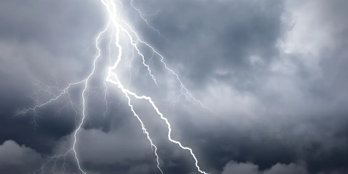
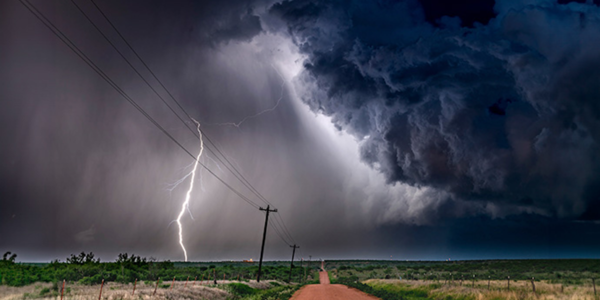
Forecasters are tracking the possibility of damaging wind gusts, frequent lightning, and torrential downpours capable of triggering flash flooding. Flood-prone neighborhoods, low-lying areas, and communities near smaller streams and creeks face the greatest risk. The situation remains under active monitoring, and the full extent of impacts has not yet been finalized.
Charleston, Huntington, Parkersburg, Beckley, Clarksburg, Morgantown and surrounding communities should all expect travel disruptions Thursday if the heavier rainfall bands develop as projected. Drivers could face standing water on roads, dramatically reduced visibility, and rapidly deteriorating conditions throughout the day.
Temperatures will remain relatively mild heading into midweek — highs in the upper 60s to lower 80s across most of the state — but residents should not let the pleasant weather create a false sense of security. Mountain communities will see even cooler temperatures before the system arrives.
Officials are urging all West Virginia residents to review their severe weather safety plans now, not Thursday morning. Having multiple ways to receive emergency warnings — including weather radio, phone alerts, and local broadcasts — could prove critical, particularly during the overnight hours Wednesday into Thursday when the first storms are expected to arrive.
Additional watches, advisories, and warnings are expected to be issued in the coming days as the storm track becomes clearer. Residents should monitor updates closely and be ready to act quickly.