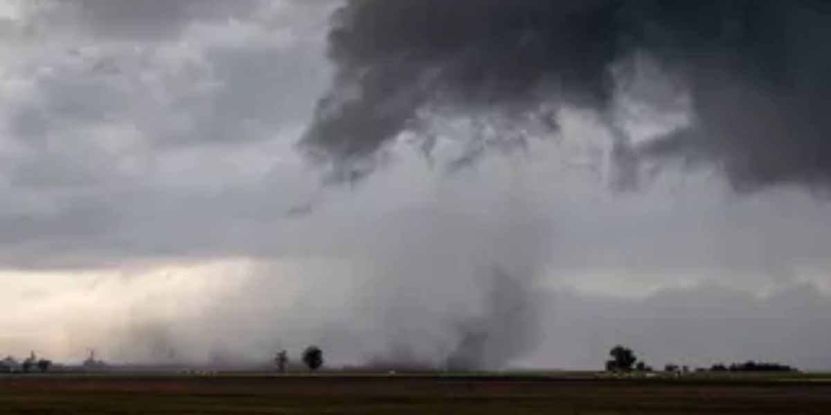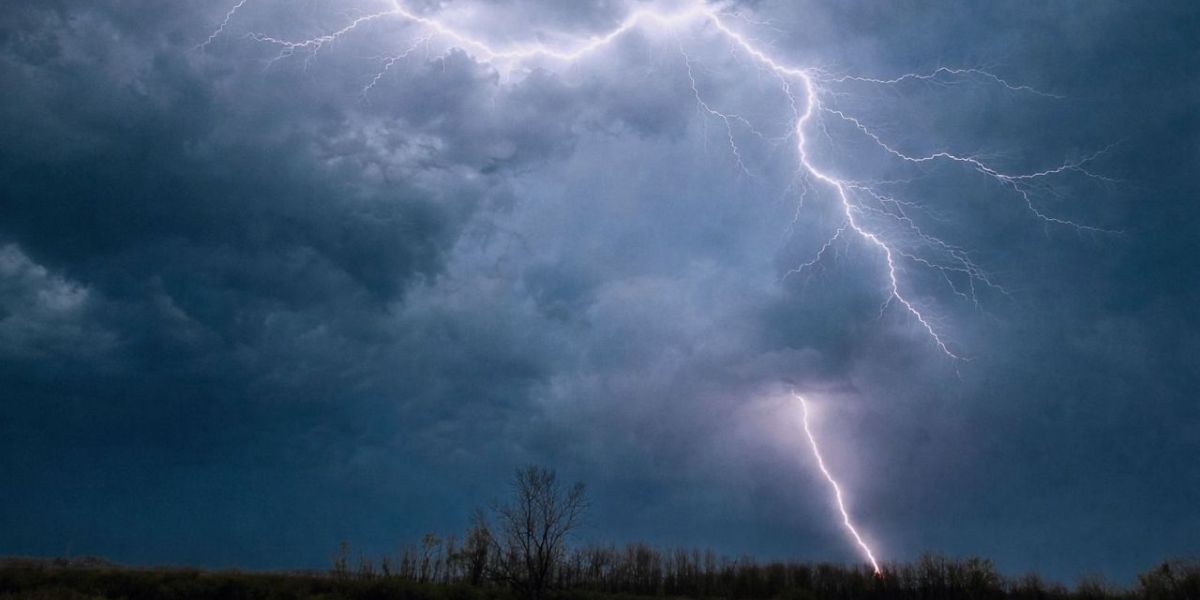
New Jersey residents need to brace themselves. A dangerous combination of severe thunderstorms, flash flooding, and oppressive heat is moving into the state, and forecasters warn the worst may not be over by the weekend.
Thursday: The First Strike
Strong to severe thunderstorms are expected to develop Thursday afternoon between 3 p.m. and 10 p.m. Southern New Jersey faces the highest danger, sitting under a “slight risk” for severe weather — a formal warning level that signals a real and organized threat.
The two main dangers: damaging wind gusts powerful enough to down trees and power lines, and localized flash flooding that can turn roads into rivers within minutes.
It will not just be the storms. Afternoon temperatures will climb into the mid-80s, but with dew points surging into the mid-70s, it will feel like the low to mid-90s outside. After the storms clear near midnight, patchy fog may settle in across parts of the state.
Friday: Worse Than Thursday
Do not let Thursday’s storms make you feel safe. Friday brings another round of showers and thunderstorms ahead of an incoming cold front — and this round could be more dangerous for wind damage.
Friday is also set to be the hottest day of the stretch. Highs will push into the upper 80s to near 90 degrees, with the heat index making it feel as hot as the mid- to upper 90s in some areas.
Anyone planning to visit the Jersey Shore should also be aware: a moderate risk of dangerous rip currents is in effect for northern New Jersey beaches through Friday.
Saturday and Beyond
Saturday remains uncertain. Some weather models show lingering showers across southern New Jersey while others suggest faster clearing. Temperatures will stay in the 80s.
Relief is coming — but not until Sunday, when drier conditions and clearer skies are expected to return as high pressure moves into the region.
If you live in southern New Jersey, do not wait for the storms to arrive before taking precautions.