Houston is bracing for one of its most taxing weather stretches of the summer as dangerously high heat, pop-up thunderstorms, and an incoming Saharan dust plume are all expected to impact the region within the same seven-day window.
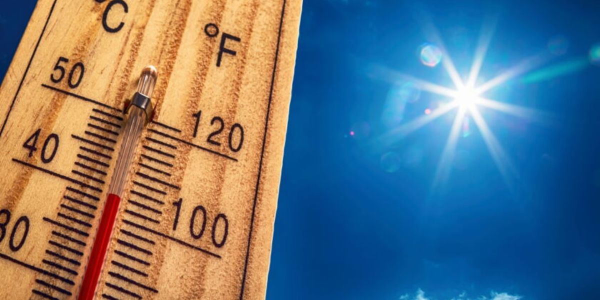
Temperatures across Southeast Texas are forecast to climb into the low to upper 90s through the week, but it is the feels-like temperature that has meteorologists most concerned. Heat index values are expected to peak between 100 and 108 degrees on multiple days — conditions that can cause heat exhaustion or heat stroke within minutes of outdoor exposure for those who are unprepared.
Heat safety — what you need to do now:
- Drink water consistently — do not wait until you are thirsty
- Take breaks in air conditioning or shade every 20-30 minutes
- Never leave children or pets inside a parked vehicle
- Wear lightweight, light-colored clothing outdoors
- Check on elderly neighbors, children, and those without AC
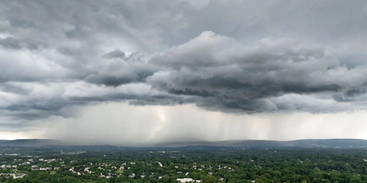
As if the heat were not enough, the region also faces daily storm threats through the weekend. Isolated to scattered thunderstorms are expected each afternoon and evening, with the highest storm coverage east of Interstate 45 and north of Interstate 10. However, outflows and sea breeze interactions could push some storms directly into the Houston metro.
Forecasters warn that a few of these cells could turn stronger, producing brief but intense downpours and damaging wind gusts between 25 and 45 mph. Rain chances remain elevated through Monday as deeper Gulf moisture moves into the area.
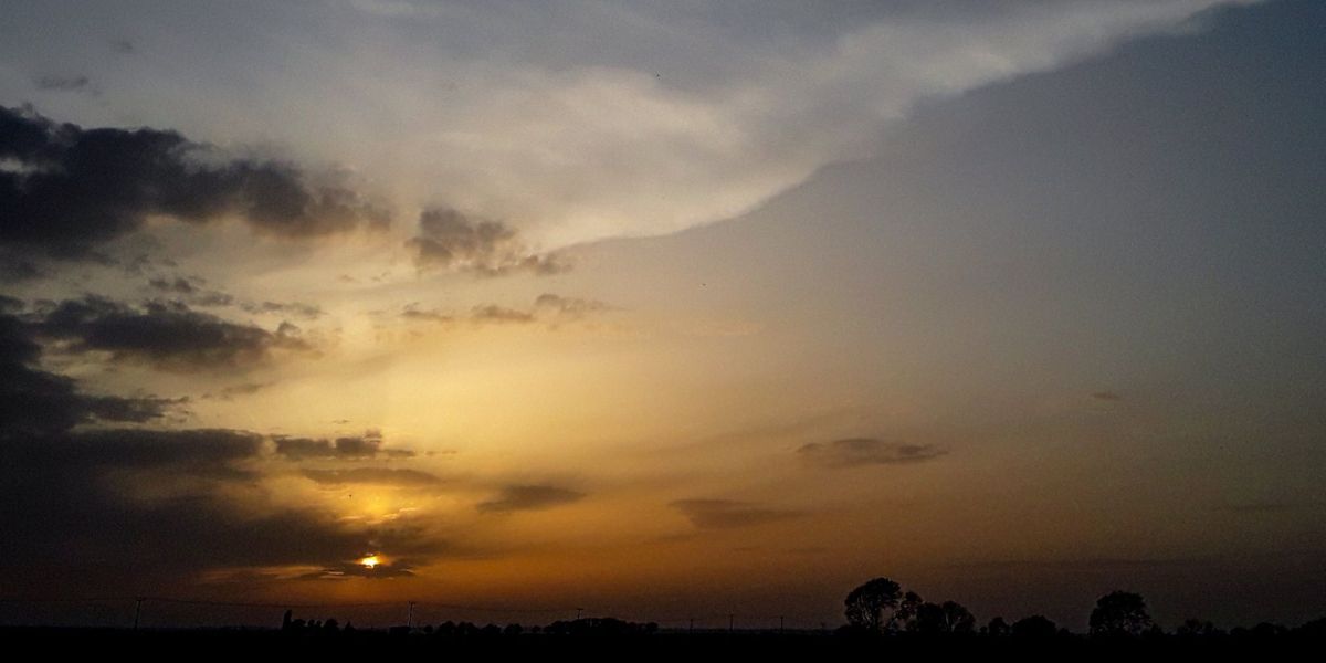
Saharan dust arriving Thursday — breathing risk for millions: A plume of Saharan dust is expected to reach Southeast Texas by Thursday and linger through the weekend, with a thicker second wave potentially arriving by Monday. Residents with asthma, allergies, or other respiratory conditions are urged to limit outdoor activity and keep windows closed when the dust is heaviest. Expect hazier skies and reduced visibility on those days, along with vivid orange sunrises and sunsets.
On the positive side, there is currently no tropical development expected in the Atlantic or Pacific over the next seven days.
7-Day Forecast:
Tue 96° (40%) | Wed 96° (30%) | Thu 96° Dust | Fri 94° Hazy | Sat 93° (40%) | Sun 93° (40%) | Mon 93° (50%)