New Jersey residents are being urged to take immediate precautions as a prolonged and dangerous heat event is set to grip the entire state starting Wednesday. Forecasters warn this will not be a brief spike — the dangerous conditions are expected to last through the Fourth of July weekend.
All 21 counties in New Jersey have been placed under an extreme heat watch, with heat-index values — what the temperature actually feels like on your body — forecast to reach as high as 110 degrees on the worst days.
Wednesday Mid-90s Feels like 100–105°
Thursday 100–105° Feels like up to 110°
Friday 100–105° Feels like up to 110°
Saturday Mid-90s Feels like 100–105°
Thursday and Friday are being flagged as the most extreme days. Several daily high-temperature records could fall during that stretch. Rising humidity is making forecasts even more alarming, as sweat cannot evaporate efficiently in high-humidity conditions — meaning the human body has a much harder time cooling itself down.
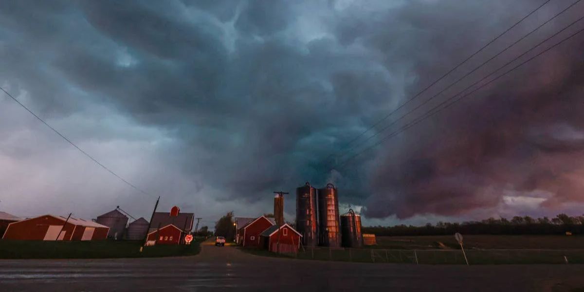
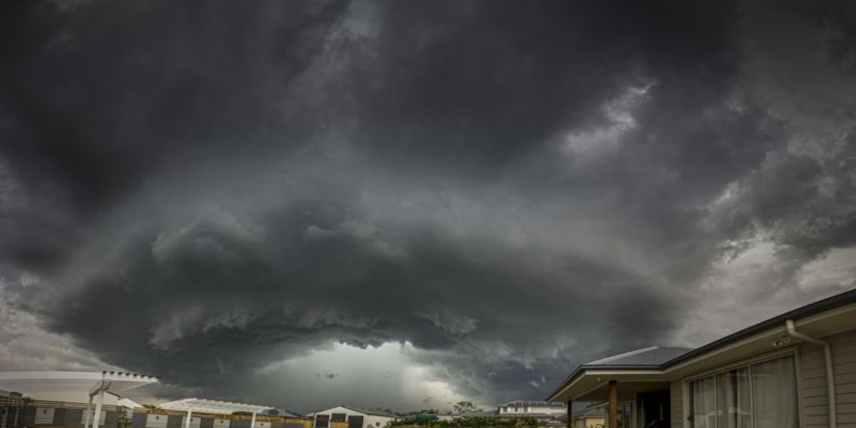
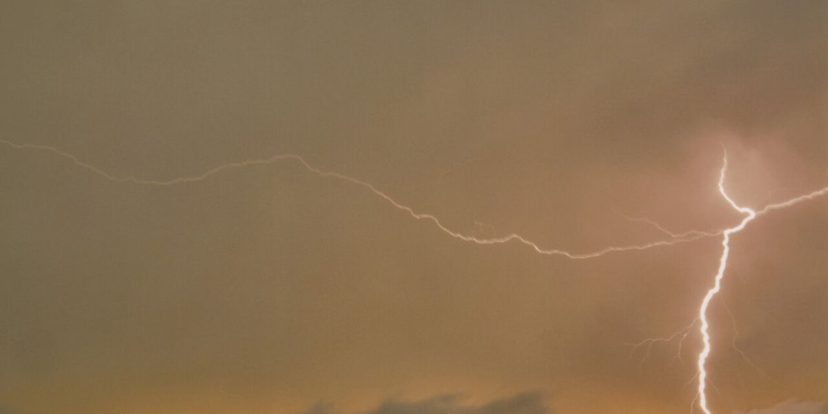
Before the heat arrives, a cluster of thunderstorms moved through parts of the state Sunday evening, triggering flash flood warnings in Burlington, Camden, and Gloucester counties, with rainfall rates hitting up to 2 inches per hour in some locations.
Monday and Tuesday will remain relatively manageable, with sunshine and temperatures in the 80s to low 90s. But conditions will shift dramatically by Wednesday when forecasters say the heat will begin turning “dangerous.”
What you should do now
Check on elderly neighbors and family members. Never leave children or pets in parked vehicles. Stay hydrated and limit outdoor activity between 11am–4pm on Wednesday through Friday. Locate your nearest cooling center now — before the heat hits.
Some relief is expected by Sunday or Monday of the following week when a weather pattern change is anticipated. Until then, officials are asking residents to treat this heat event seriously. Extreme heat kills more Americans annually than any other weather event.