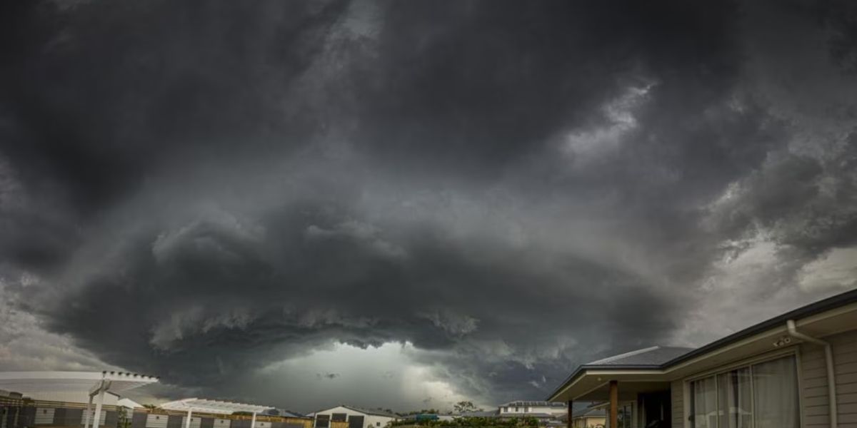
A dangerous line of severe thunderstorms is expected to tear through a wide stretch of the Great Plains on Tuesday, putting millions of residents from Denver, Colorado to Oklahoma City, Oklahoma at risk for large hail, destructive winds, and isolated tornadoes — and forecasters say the worst may arrive without much warning.
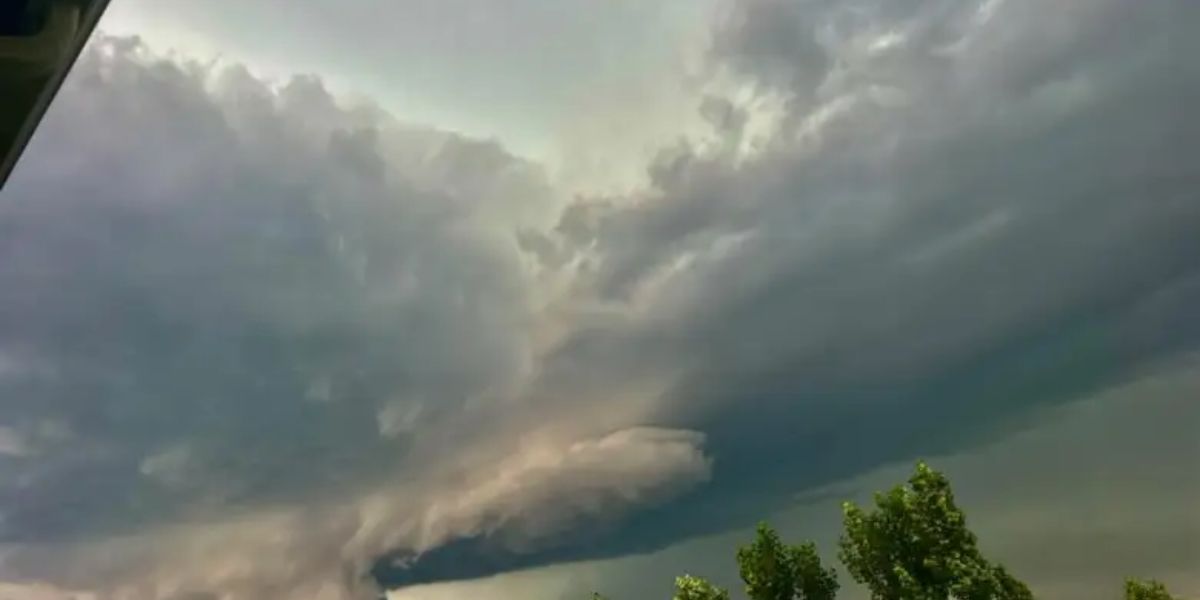
The storm system is expected to ignite across the High Plains through Colorado and Kansas during the afternoon hours as intense daytime heating fuels explosive thunderstorm development. These early supercells are considered the most dangerous phase of the event, carrying the potential for baseball-sized hail and wind gusts capable of flipping vehicles and destroying structures before the storm system reorganizes into a broader, more chaotic form.
The tornado threat, though limited, is being taken seriously near Cheyenne, Wyoming and Denver, Colorado. A 2 percent tornado probability has been issued for that zone — a figure that may sound small, but represents a real, confirmed risk in a densely populated corridor. Forecasters warn that any brief tornado could touch down with little lead time before the storm mode shifts.
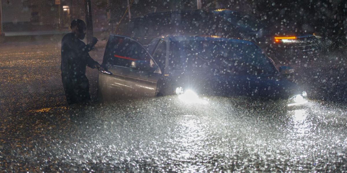
As evening approaches, the initial supercells are expected to merge into a fast-moving line capable of widespread damaging wind gusts across a much broader area. Cities including Colorado Springs, Wichita, Tulsa, and areas just north of Oklahoma City all fall within the officially declared Slight Risk zone — one step above a routine thunderstorm threat.
Residents across the affected corridor are urged to charge devices, identify a safe interior room away from windows, and avoid travel during peak storm hours between 3 p.m. and 10 p.m. local time. Those in mobile homes or vehicles should seek sturdy shelter immediately when warnings are issued.
Do not wait for sirens. Sign up for local emergency alerts on your phone and monitor conditions closely throughout Tuesday afternoon and evening.