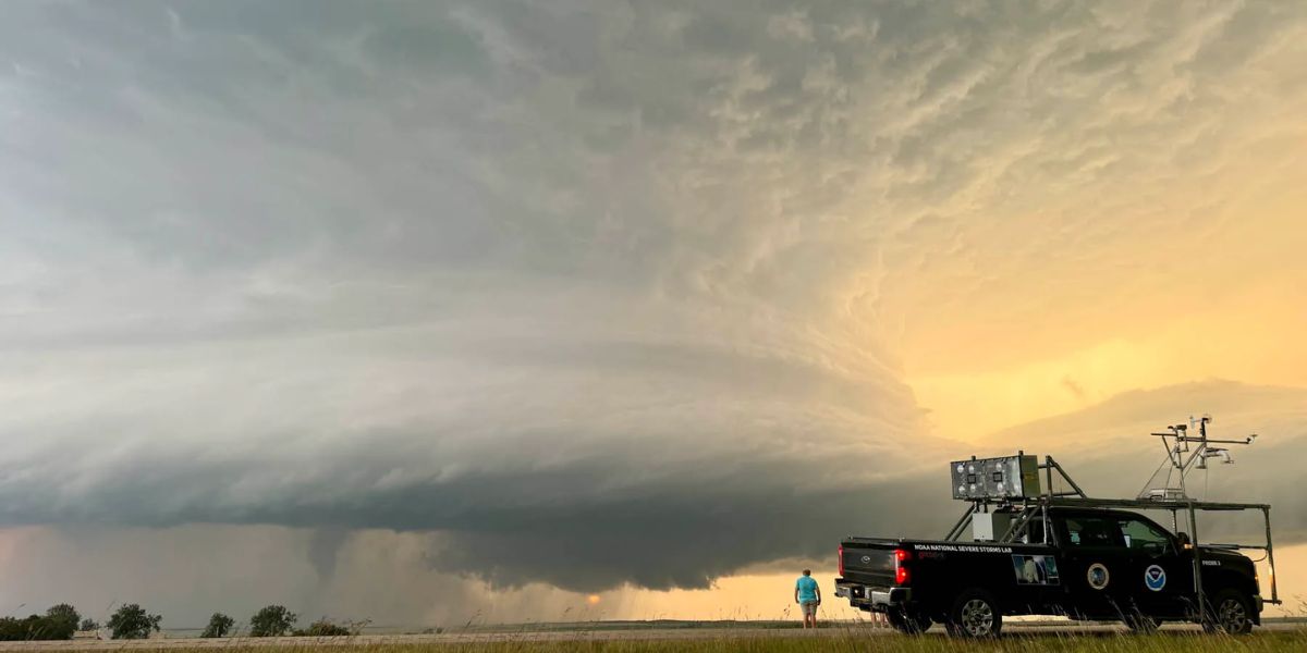
WICHITA, Kan. — A dangerous hail threat is building across the southern Plains and Midwest this Sunday afternoon, and if you live near Wichita, Kansas, Springfield, Missouri, or Enid, Oklahoma, you need to act before storms develop — not after.
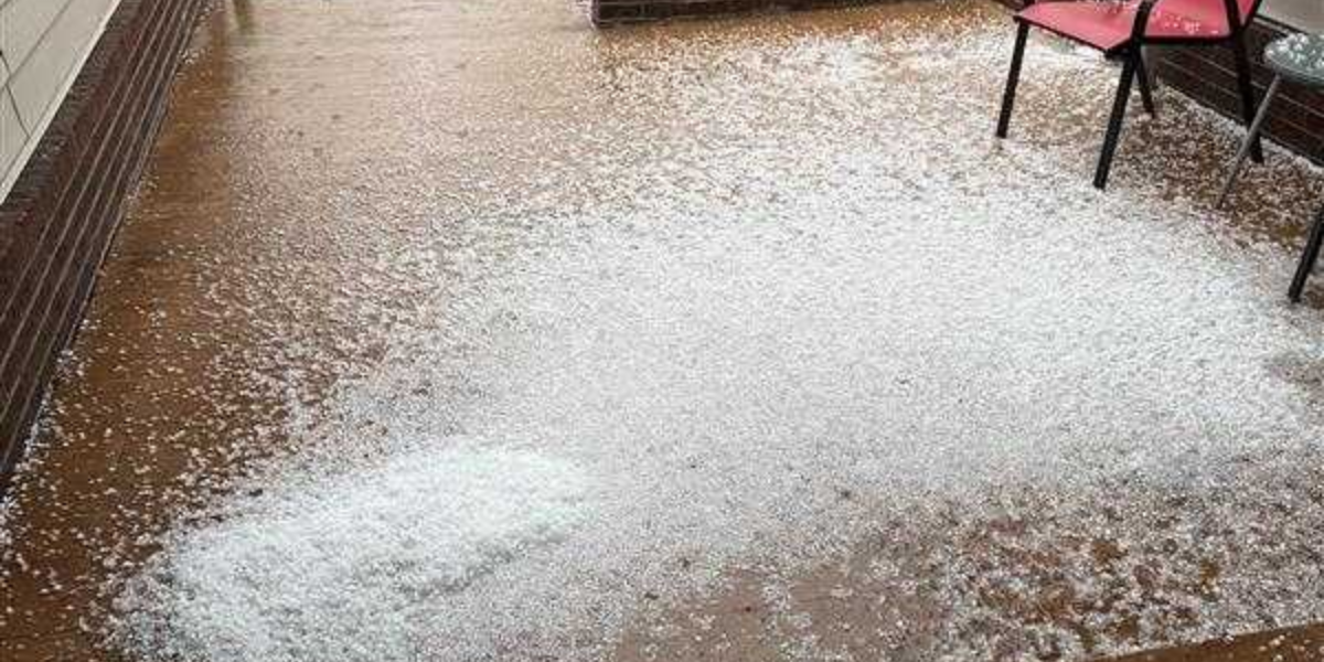
Forecasters are warning of hen egg-size hail measuring 2 inches and larger as lone storms fire along an atmospheric front during the afternoon hours. That combination — isolated storm mode along a defined boundary — is exactly the setup that produces the biggest, most destructive hailstones. Individual storm cells in this configuration can strengthen dramatically before merging into clusters, and the window before that happens is when the largest stones are expected to fall.
Hail at this size is no minor inconvenience. Stones measuring 2 inches and above carry enough force to dent vehicle hoods and roofs, shatter windshields, and cause significant damage to roofing, siding, and anything left unprotected outside. Residents in the primary threat zone are being strongly urged to move vehicles into garages or covered parking immediately — before convection fires this afternoon.
The danger is not limited to those three cities. A broader hail corridor stretches from eastern Colorado and Kansas eastward through Missouri, Illinois, and into Indiana and Kentucky. Kansas City, St. Louis, Columbia, Tulsa, Oklahoma City, and Louisville all fall within this wider zone of elevated risk, though the most extreme hail potential remains anchored near the Wichita-Springfield-Enid corridor.
Meteorologists note that the threat could ease later in the day if lone storms grow upscale into organized clusters — but that shift would come after the most dangerous window has already passed.
Do not wait for sirens. If you are in or near this corridor, secure vehicles and move inside before storms develop. The afternoon window is short, and the damage window is even shorter.
Stay with Sultana Insider for live updates as storms develop this afternoon.