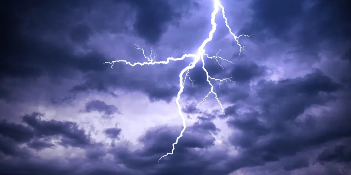
A dangerous and wide-ranging severe weather outbreak is unfolding across several states this Wednesday, with the most extreme threat centered along a volatile stretch of the Front Range and High Plains. Forecasters have issued an Enhanced Risk — Level 3 of 5 — stretching from Douglas, Wyoming south through Denver and Colorado Springs all the way to Yuma, Colorado, placing millions of residents on alert for one of the most threatening storm setups of the season.
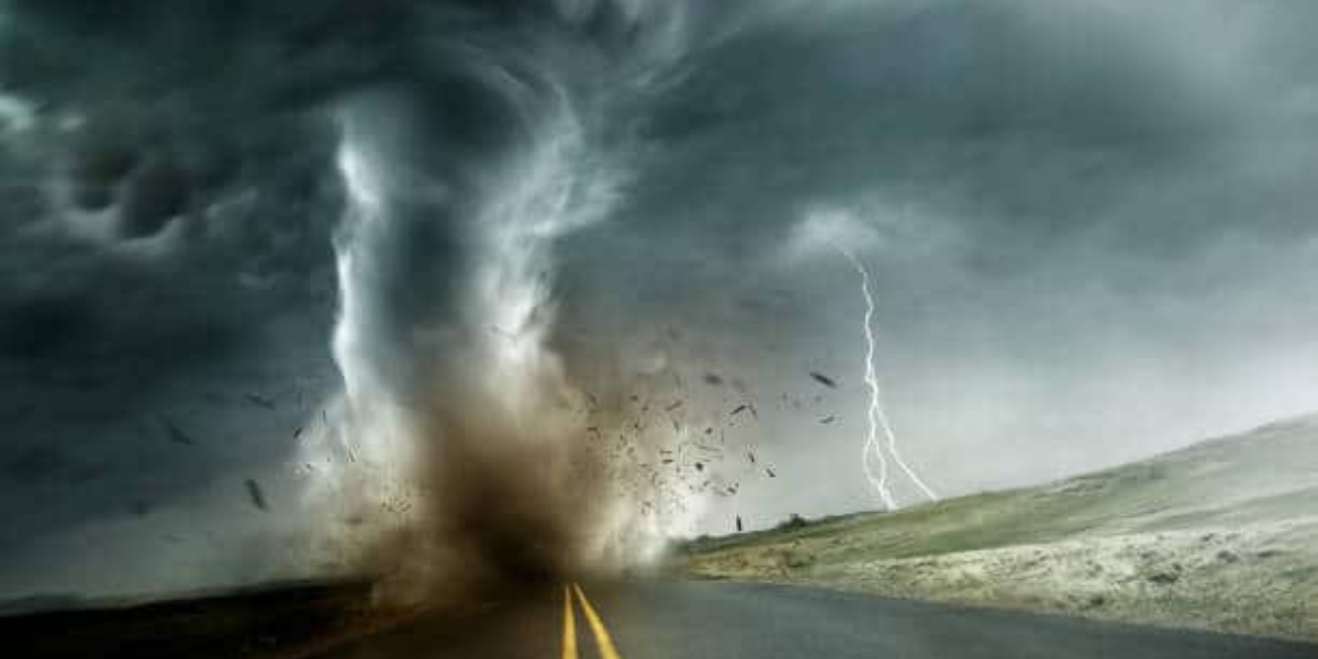
Giant hail and tornadoes feared along the Cheyenne Ridge
Widely scattered supercells are expected to fire up along the Cheyenne Ridge corridor this afternoon. These storms carry the potential for giant hail, tornadoes, and hurricane-force wind gusts exceeding 74 mph. Residents across the Denver metro, Colorado Springs, and the High Plains should be prepared to take shelter immediately if warnings are issued. This is not a drill — forecasters describe this as one of the more significant setups of the season for this region.
Salt Lake City area also under threat tonight
Northern Utah, including the Salt Lake City area, is under a Slight Risk — Level 2 of 5 — for severe storms expected to move through this evening. Gusty storms carrying severe hail are the primary concern for this region. Residents should monitor conditions closely as the evening hours approach.
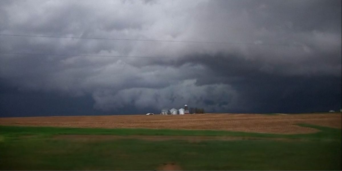
Chicago and Milwaukee corridor faces tornado risk
Southern Wisconsin and northern Illinois — including the Chicago and Milwaukee corridor — are watching a Marginal Risk, Level 1 of 5, for a few supercells capable of tornadoes and damaging winds. Forecasters warn this area could see an upgrade to a Slight Risk if atmospheric conditions become more favorable than currently expected. The window for activity spans the afternoon into the evening hours.
Western Alabama, Memphis area also in play
A Marginal Risk also extends into western Alabama, with isolated severe storms possible near Memphis and Little Rock as well. While this carries the lowest risk level of today’s outlook, residents should remain aware and keep a weather app or local alert system active throughout the day. Conditions can change quickly once storms organize.