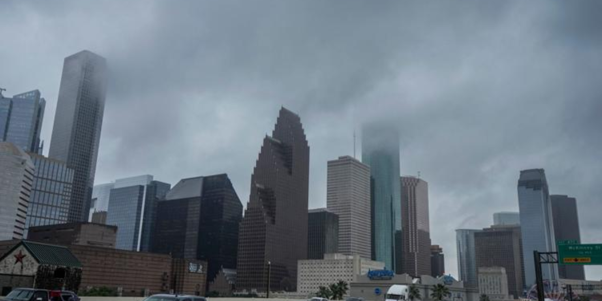
Tropical Storm Arthur has made landfall and is fading fast — but Houston residents have little time to breathe. A dangerous heat event is now bearing down on the region, and forecasters are warning it could feel life-threatening by Thursday.
The Storm Is Over. The Danger Isn’t.
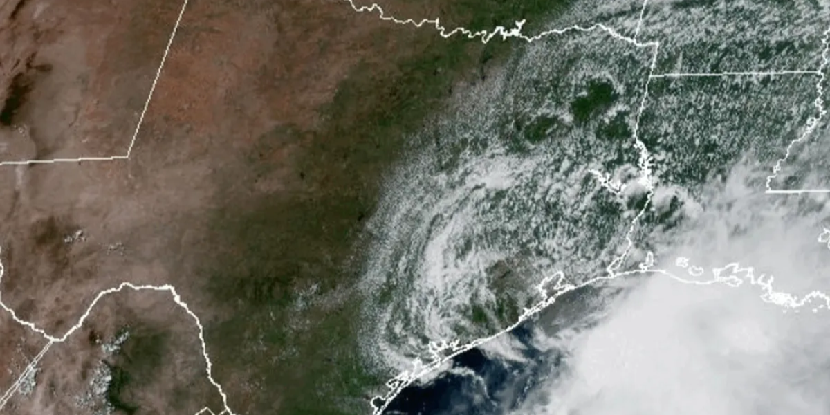
As of Wednesday afternoon, the National Hurricane Center confirmed Tropical Storm Arthur made landfall in Matagorda County, Texas. The storm is now weakening and expected to dissipate within the next 6 to 12 hours as it pushes north-northeast.
No major flooding threats remain for the coast through Wednesday evening. Winds are still gusting up to 25 mph along Galveston, but conditions are improving.
What’s Coming Next Is Worse Than the Storm
Once Arthur clears out Wednesday night, a punishing heat event takes over — and it’s not a minor inconvenience.
A Heat Advisory will be in effect for both Thursday and Friday across the Houston metro area. Heat index values are forecast to reach between 107°F and 114°F — temperatures that can cause heat stroke within minutes of outdoor exposure, especially for children, the elderly, and outdoor workers.
Highs will climb into the low-to-mid 90s Thursday through next week, with overnight lows staying in the upper 70s — offering almost no relief after dark.
What Houston Residents Need to Know Right Now
- Do not spend extended time outdoors Thursday or Friday without water and shade
- Check on elderly neighbors, children, and pets — heat kills quickly and quietly
- Heat index values of 107°F–114°F are considered dangerous to life-threatening by the National Weather Service
- Cooling centers will be critical — watch for city announcements
- The heat continues through at least early next week
Houston has survived Arthur. But the next 72 hours may be the real test.
Stay hydrated. Stay indoors. Stay informed.