Heat index values could reach 107°F across Southeast Texas. Here’s what doctors and forecasters want residents to know before the holiday.
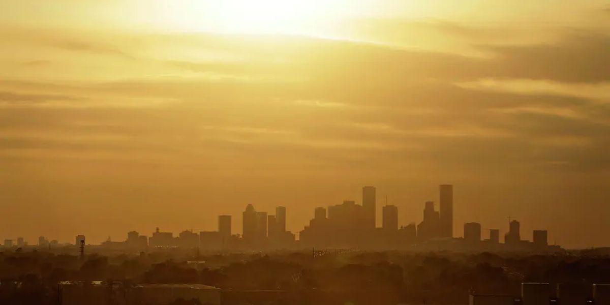
Southeast Texas is heading into one of the most dangerously hot holiday weekends in recent memory, and health officials are urging residents to take the heat seriously before stepping outside.
Heat index values — the “feels like” temperature when humidity is factored in — are expected to climb between 100 and 107 degrees Fahrenheit (38 to 42°C) through the entire holiday weekend and into early next week. While that sits just below the threshold for an official Heat Advisory, medical experts warn it is more than hot enough to trigger serious heat illness, especially for children, elderly residents, and anyone spending extended time outdoors at Fourth of July events.
The hottest and most dangerous window each day will be from late morning through early evening. If you are attending outdoor celebrations, limit sun exposure during those hours, drink water consistently even if you do not feel thirsty, and watch for warning signs of heat exhaustion such as dizziness, nausea, or heavy sweating.
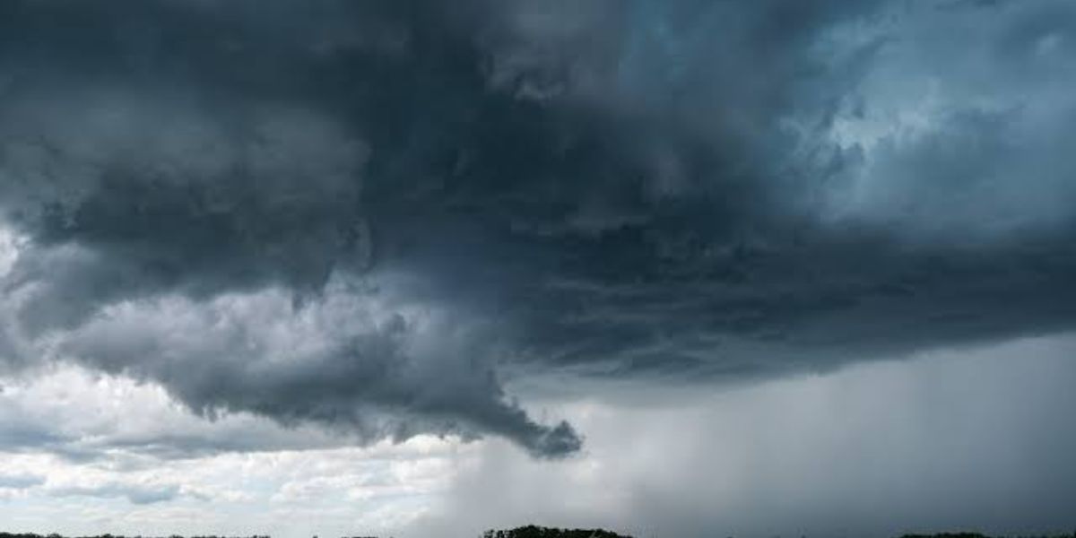
For Independence Day specifically, Houston will see a high near 96°F with a low of 79°F overnight. Isolated thunderstorms carry a 20 percent chance, but most areas are expected to stay dry. By fireworks time, temperatures should ease slightly into the upper 80s, with partly cloudy skies and light south winds.
An additional concern is arriving later next week. A thick plume of Saharan dust is forecast to move into Southeast Texas around Friday, July 11, bringing hazy skies and worsening air quality. Residents with asthma, allergies, or respiratory conditions should prepare to limit outdoor activity when that arrives.
On the tropical front, there is no threat to the Gulf Coast. No cyclone development is expected in the Atlantic over the next 7 days, largely because the same Saharan dust suppressing air quality is also keeping storm activity in check.
7-day forecast
- Friday: 30 percent chance of isolated thunderstorms. High 95. Low 78.
- Saturday, July 4: 20 percent chance of isolated thunderstorms. High 96. Low 79.
- Sunday: 30 percent chance of isolated thunderstorms. High 95. Low 78.
- Monday: 20 percent chance of spotty rain and an isolated thunderstorm. High 95. Low 79.
- Tuesday: 30 percent chance of isolated thunderstorms. High 95. Low 79.
- Wednesday: 20 percent chance of isolated thunderstorms. High 96. Low 79.
- Thursday: 10 percent chance, mostly sunny. High 96. Low 79.