Southeast Texas is heading into a hot and potentially dangerous holiday weekend, with heat index values expected to soar between 100 and 110 degrees through the Fourth of July.
While scattered thunderstorms are moving through parts of the Houston area Thursday afternoon, forecasters say heat — not storms — is the bigger threat this weekend.
Storms Today, Then the Heat Takes Over
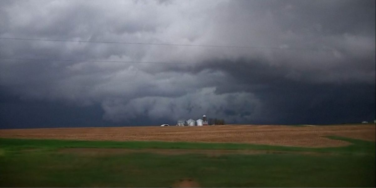
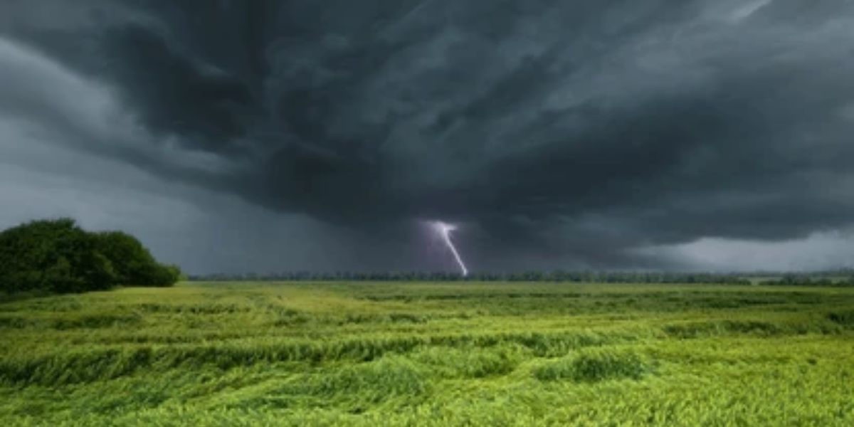
Thursday brings the best chance for afternoon showers and thunderstorms across Southeast Texas. Earlier in the day, lightning was active near League City in Galveston County, and rainfall rates near Friendswood briefly reached close to 4 inches per hour. No flooding or severe weather threats are expected — just general storms through the evening hours.
Rain chances drop Friday and Saturday before returning Sunday and Monday.
Dangerous Heat This Weekend
Even without storms, the heat will be relentless. Houston’s high temperatures will hover around 92 to 95 degrees through the weekend, but the real danger lies in how it actually feels outside.
Feels-like temperatures could reach 108 to 110 degrees in some spots Friday and Saturday — conditions that can become life-threatening within hours if you are not prepared.
Fourth of July Outlook
For those planning to watch fireworks, evening temperatures on July 4th are expected to sit around 86 degrees with humidity near 70 percent and a 20 percent chance of an isolated shower. Most fireworks shows should go on as planned, but the hours before sunset could be dangerously hot.
Stay Safe This Weekend
Health officials urge residents to take heat seriously. Drink water consistently throughout the day, wear loose and light-colored clothing, and limit outdoor activity during peak afternoon hours. Check on elderly neighbors, young children, and pets who may not handle the heat well.
Scattered afternoon storms return Sunday and Monday, keeping the pattern unsettled well into next week.