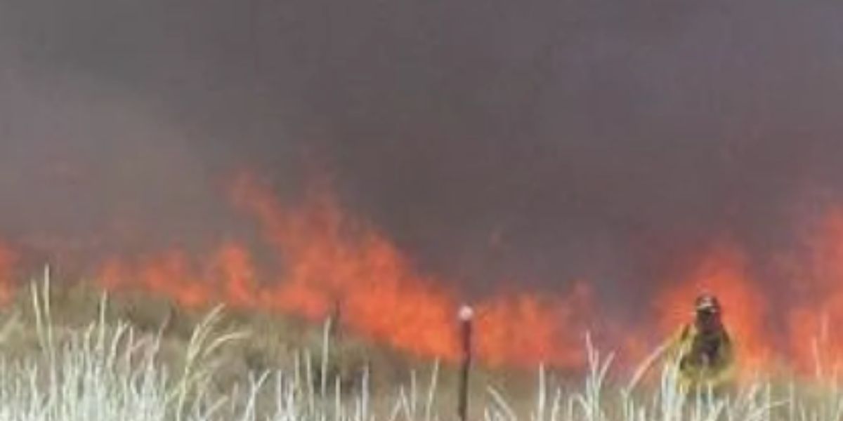
SALT LAKE CITY, UT — A rare and dangerous combination of weather and fuel conditions is coming together this afternoon across the western United States, raising alarm among fire officials who say new wildfires could ignite and spread faster than suppression crews can respond.
The threat stretches across six states — Idaho, Utah, Colorado, New Mexico, Oregon, and California — covering hundreds of miles of terrain that has gone weeks without meaningful rainfall.
What Makes Today So Dangerous
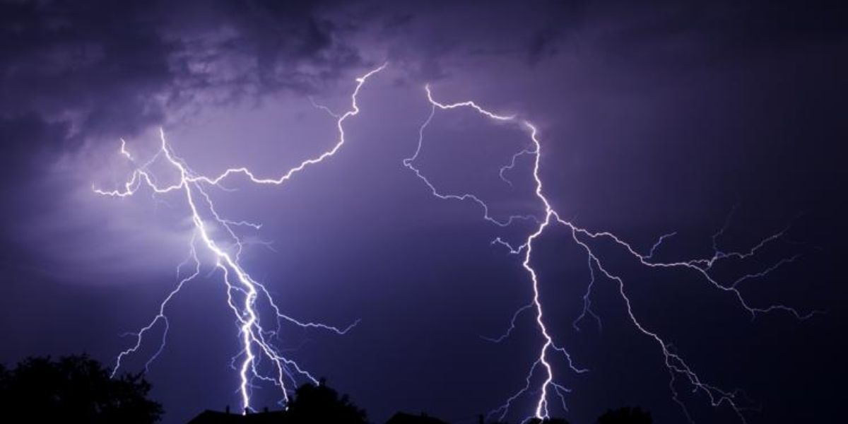
The primary concern is dry lightning — thunderstorms that produce lightning strikes but drop little to no rain. When those bolts hit vegetation that is historically dry, fires can start in seconds. And with gusty winds and single-digit relative humidity in the forecast, those fires don’t stay small for long.
Cities directly in the dry lightning risk zone include:
- Boise and Twin Falls, Idaho
- Salt Lake City, Vernal, and Moab, Utah
- Grand Junction, Craig, and Pueblo, Colorado
- Santa Fe and Cortez, New Mexico
Separate High Fire Risk Zones Also Active
Beyond the lightning threat, a second high fire risk zone is active across the Pacific Northwest and Great Basin. Areas near Seattle, Portland, Yakima, Bend, and Redding face dangerous fire spread conditions driven purely by wind and low humidity — no lightning required.
Carson City, Nevada and the St. George-Las Vegas corridor are also flagged under elevated fire risk today.
What Residents Need to Do Right Now
Officials are urging residents in all highlighted zones to:
- Know your evacuation route before you need it
- Be ready to leave immediately if ordered
- Report any smoke or flame to local authorities without delay
With fuels this dry across such a wide area, forecasters warn that several new fire starts are not just possible today — they are expected.