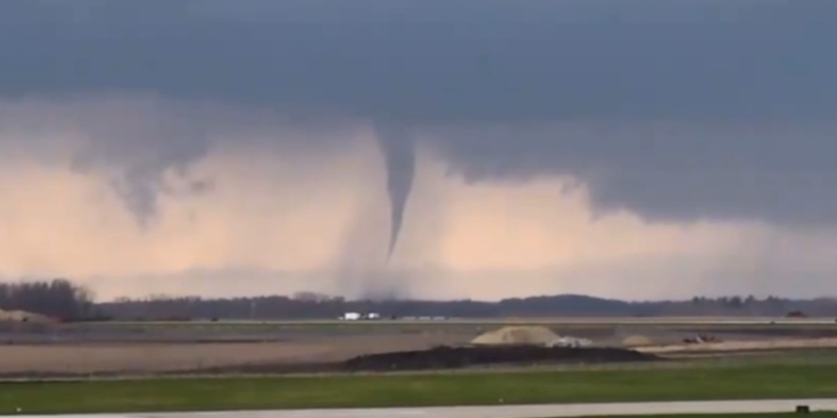
A dangerous severe weather setup is taking shape today across a wide stretch of the central United States, with forecasters warning of not one but two separate rounds of storms — and the second round carries the potential for strong, long-track tornadoes rated EF2 or higher.
The primary threat zone stretches from central Missouri through southern Illinois and into southwest Indiana, placing cities like St. Louis, Springfield, and Indianapolis in the crosshairs of a 5 to 10 percent tornado probability — a range that forecasters consider significant enough to warrant immediate preparation.
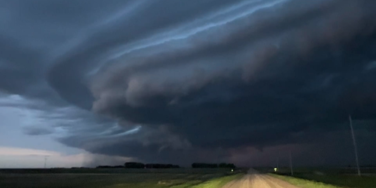
Morning storms set the stage
The first round of storms, expected through the morning hours, is not just a warm-up. How quickly the atmosphere recovers from that initial wave will directly determine the severity of the afternoon outbreak. If skies clear and instability rebuilds faster than expected, forecasters say a localized upgrade in tornado probabilities is possible — meaning the already serious threat could intensify with little additional warning.
Residents across Missouri, Illinois, and Indiana should not wait for the second round to take shelter plans seriously. The window between storm rounds may feel deceptively calm.
A broader threat stretches from Colorado to Tennessee
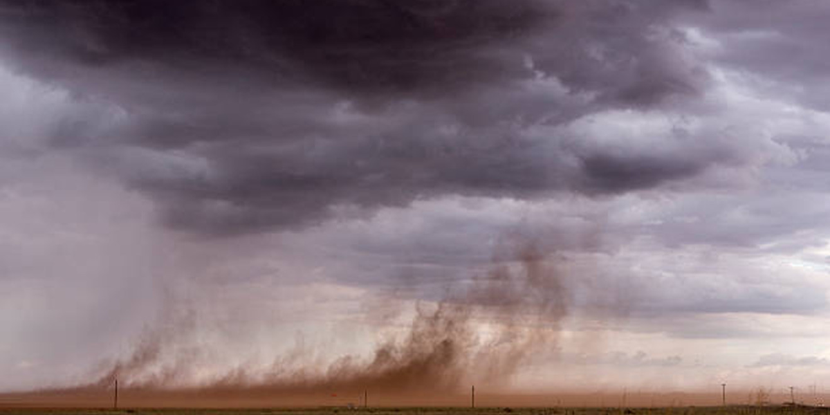
Beyond the core tornado corridor, a wider 2 percent tornado risk fans out from eastern Colorado and Nebraska through Kansas, Missouri, Illinois, Indiana, and into Kentucky and Tennessee. Kansas City, Wichita, Tulsa, Oklahoma City, Louisville, and Nashville all fall within this broader zone. In western Kansas and Nebraska, isolated supercells are expected to produce large hail and damaging wind gusts rather than tornadoes.
Residents across all affected states are urged to have multiple ways to receive emergency alerts, identify a sturdy interior shelter away from windows, and monitor conditions closely through the afternoon and early evening hours.