Davenport, Iowa – A dangerous line of storms is tracking directly toward the Quad Cities metro Wednesday afternoon — and officials say residents may have very little time to react once conditions deteriorate.
Wind gusts Up to 60 mph
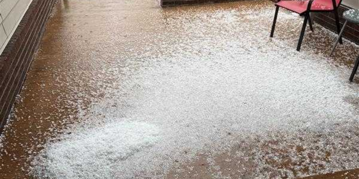
Hail size Golf ball (1.75 in)
Tornado risk Isolated possible
Flooding Flash flood threat
Eastern Iowa and northwestern Illinois are bracing for one of the most threatening storm setups of the season. Severe thunderstorms could fire as early as Wednesday morning, but forecasters say the most dangerous window arrives during the afternoon hours — when multiple storm threats are expected to converge simultaneously.
Portions of southeast Iowa, west-central Illinois, and northeast Missouri face an Enhanced Risk — Level 3 out of 5 — for severe weather. The Quad Cities metro sits under a Slight Risk, Level 2, but that does not mean residents are out of danger. Forecasters warn that any storm that develops could rapidly become severe with little advance notice.
The four primary threats are damaging wind gusts reaching 60 mph, hail as large as golf balls measuring 1.75 inches in diameter, isolated flash flooding on low-lying and rural roads, and the possibility of a few tornadoes. Drivers caught on the road during peak storm hours face the greatest risk, with reduced visibility, wind-blown debris, and flooded roadways all expected.
Areas at risk include Davenport, Bettendorf, Rock Island, Moline, Iowa City, Cedar Rapids, Burlington, and Macomb.
Conditions are forecast to gradually improve Wednesday evening as a cold front sweeps through the region, but additional watches and warnings are expected to be issued throughout the day as storm confidence increases.
Residents are strongly urged to act now — not when storms arrive. Charge mobile devices so emergency alerts can be received, identify a sturdy interior shelter away from windows, and avoid unnecessary travel Wednesday afternoon. This is not a situation to monitor casually. When warnings are issued, move immediately.