Atlanta, Georgia – If you live anywhere in north or central Georgia, tonight is not the night to ignore your weather app. Meteorologists are tracking a line of severe thunderstorms pushing through the region — and the storms forming after 5 p.m. are the ones to watch most closely.
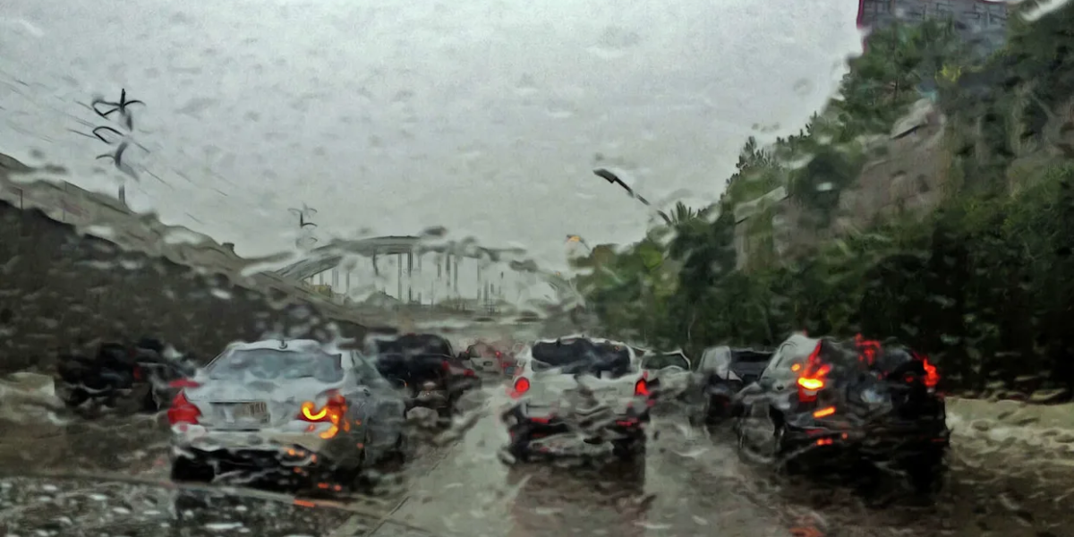
The National Weather Service has identified damaging straight-line winds as the primary threat, with gusts potentially reaching 60 mph in the strongest storms. To put that in perspective — winds at that speed are strong enough to tear down tree limbs, snap utility lines, and turn unsecured outdoor furniture into projectiles. Isolated power outages are expected, and driving conditions on Interstate 75, 85, and 20 could turn hazardous in a matter of minutes.
Level 2 — Higher risk
Northeast Georgia
Gainesville, Jasper, Blairsville and surrounding areas face the greatest threat tonight.
Level 1 — Elevated risk
Central Georgia
Atlanta, Macon, Athens and Columbus remain under a lower but real severe weather risk.
Small hail — up to dime size — is also possible alongside the wind. Storms are expected to remain scattered, meaning not every community will be hit, but forecasters warn that any storm that strengthens could become dangerous very quickly with little warning time.
The severe weather window runs through 11 p.m. tonight. Additional Severe Thunderstorm Warnings may be issued as conditions evolve through the evening hours.
What you should do right now: Enable weather alerts on your phone. Bring in outdoor furniture and anything that could become airborne. Avoid driving during peak storm activity — especially on I-75, I-85, and I-20. Cancel or shorten any outdoor evening plans in the Atlanta metro, north Georgia mountains, or northeast Georgia.
The threat is expected to taper off after 11 p.m. as storms weaken and push out of the region. Stay weather-aware and check back for updates if warnings are issued in your area tonight.