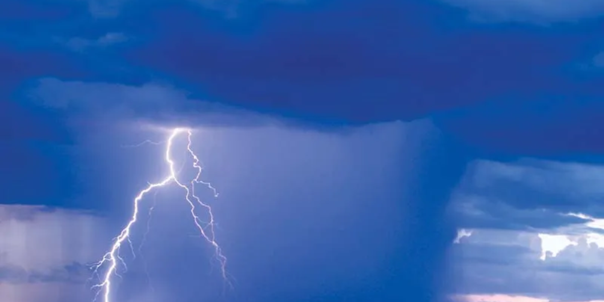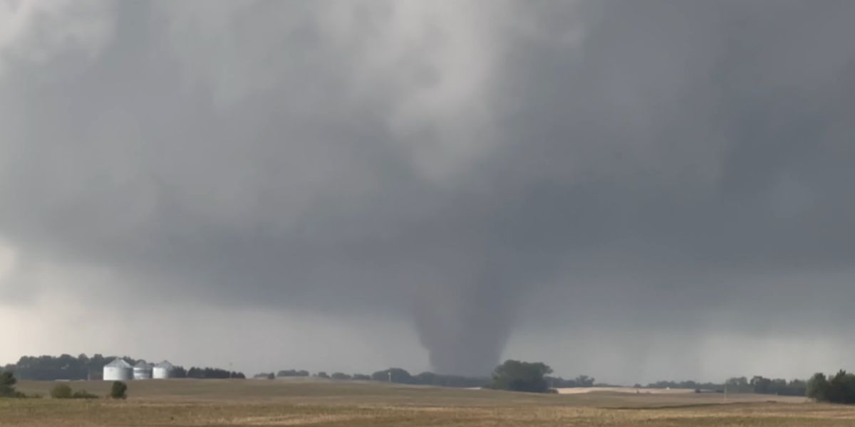
A severe weather threat is building across a wide stretch of the central United States Wednesday, with conditions expected to deteriorate rapidly after dark. Forecasters have placed a Level 1 Marginal Risk zone over a corridor stretching from Colorado and Wyoming all the way northeast through Sioux Falls, South Dakota, Des Moines, Iowa, and Minneapolis, Minnesota.
Cities in the danger zone include: Denver, Colorado Springs, Rapid City, Sioux Falls, Omaha, Kansas City, Wichita, Des Moines, and Minneapolis.
What forecasters are watching
A southward-moving cold front is colliding with high moisture and intense daytime heating, creating the conditions needed to fuel powerful thunderstorm development. The concern is not just the storms themselves — it’s the timing. If the atmosphere destabilizes after a morning and early afternoon storm cluster, a more dangerous second round of severe weather is expected to develop heading into Wednesday night.
Giant hail and 60+ mph winds possible
The primary threats are large hail and damaging wind gusts. In Colorado and Wyoming, storms are expected to form as discrete supercells off the higher terrain late Wednesday afternoon. These fast-moving storms carry the highest risk for large hail. As a strengthening wind pattern develops overnight, the storm activity could merge into a larger, more organized cluster capable of producing concentrated swaths of destructive winds across the Plains and Upper Midwest.
What residents should do now
Residents in the risk zone are urged to charge devices, secure outdoor furniture, and avoid unnecessary travel Wednesday evening. Keep a weather alert app active throughout the night. The storm window extends into early Thursday morning for communities across the northern end of the risk zone.