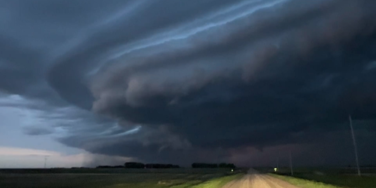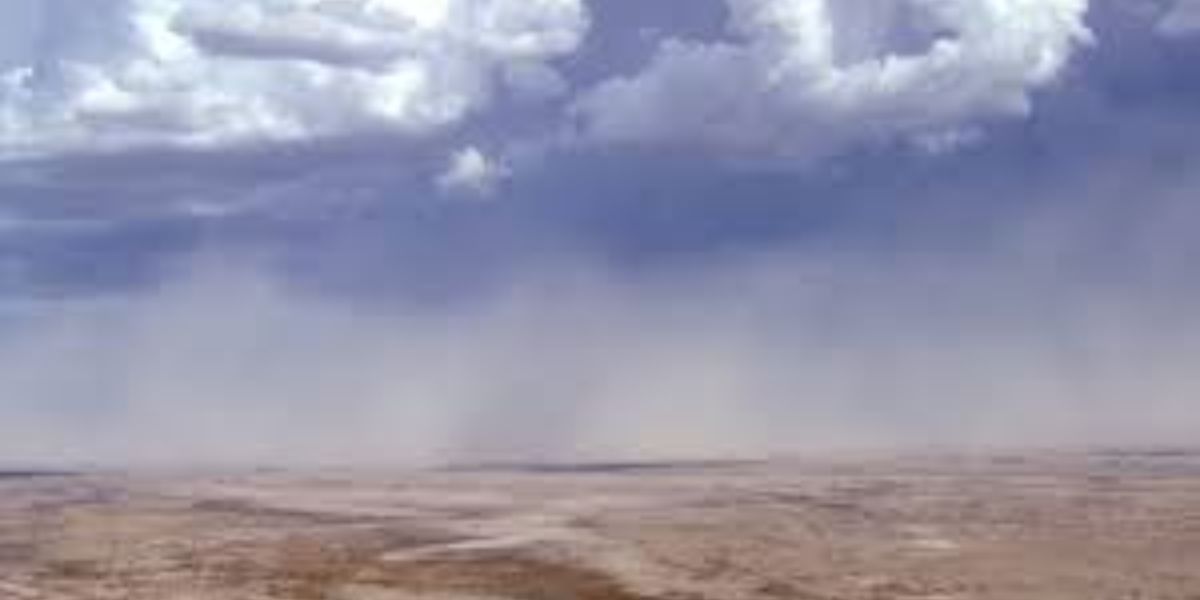
Houston residents should brace for a noticeable shift in the skies starting late Sunday, as a major Saharan dust plume moves into the region, bringing widespread haze and reduced visibility just as the city enters peak dust season for the summer.
Weather officials say the dust will arrive late Sunday and push inland with unusual density, meaning impacts could be felt well beyond the coast. The plume is expected to linger into early next week, coating the region in a hazy layer that often comes with this time of year, typically running from late June through August.
Before the dust takes over, Houston has another sky event to watch. The strawberry moon will reach its peak Monday evening, with skies expected to stay mostly clear, though the incoming haze may dull the view for skywatchers hoping to catch it at its brightest.
On the rain front, the city has been stuck under a dry pattern that has pushed storm systems away from the area. That is expected to start changing midweek. Monday will likely stay dry, but rain chances climb by Tuesday, and forecasters say thunderstorms could return by Wednesday, potentially marking a wetter turn as the calendar flips into July.
Heat remains a serious concern in the meantime. Overnight lows are only expected to drop into the upper 70s and low 80s, offering little relief after hot days. Afternoon winds could also gust up to 25 mph in Houston, with even stronger gusts possible to the west.
Health officials are urging residents to take precautions during this stretch of heat and haze, including staying hydrated, limiting time outdoors, and checking on elderly neighbors or anyone without reliable air conditioning. Pets and children should never be left in parked vehicles.
Separately, federal forecasters are watching a developing system off the southeast coast, though current odds of it strengthening remain low in the near term.