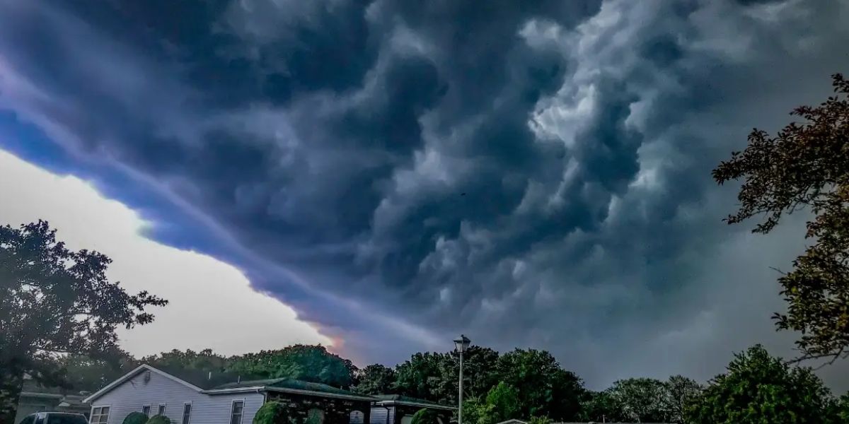
A sweeping severe weather outbreak is set to impact a massive corridor of the United States on Thursday, June 25, stretching from the northern plains of Montana all the way to the East Coast — and forecasters say the most dangerous zone may catch some communities off guard.
The highest concern sits along the Oklahoma and Kansas border, where a 5 percent tornado probability with a Conditional Intensity Group 1 designation for potentially strong tornadoes has been issued. This designation means that where tornadoes do touch down, they could be significant — not just brief spin-ups. Forecasters say atmospheric ingredients in this corridor will line up in a way that favors organized, long-track tornado development through Thursday afternoon and evening.
The broader Slight Risk zone spans an enormous footprint — from Billings, Montana south through Denver, Wichita, Amarillo, and Lubbock, Texas, then northeast through Tulsa, Oklahoma City, and into southern Illinois. Residents across this wide swath face a serious threat of large hail and damaging straight-line winds from afternoon storms, even in areas outside the tornado probability zone.
A second, separate threat zone is developing across the Northeast and Mid-Atlantic. Eastern Ohio, central Pennsylvania, and southern New York have been issued a Level 1 of 5 Marginal Risk, with major metro areas including Cleveland, Pittsburgh, Philadelphia, Buffalo, and New York City all within or near the outlined zone. Severe wind gusts are the primary hazard in this corridor as a separate system pushes east Thursday evening.
Residents in all outlined risk areas are urged to have multiple ways to receive weather alerts Thursday, including a battery-powered weather radio or a wireless emergency alert-enabled phone. Do not rely solely on outdoor sirens.
If storms develop near you Thursday afternoon, move indoors immediately and stay away from windows until the threat passes.