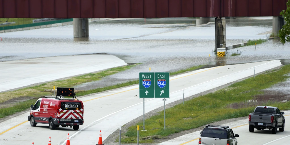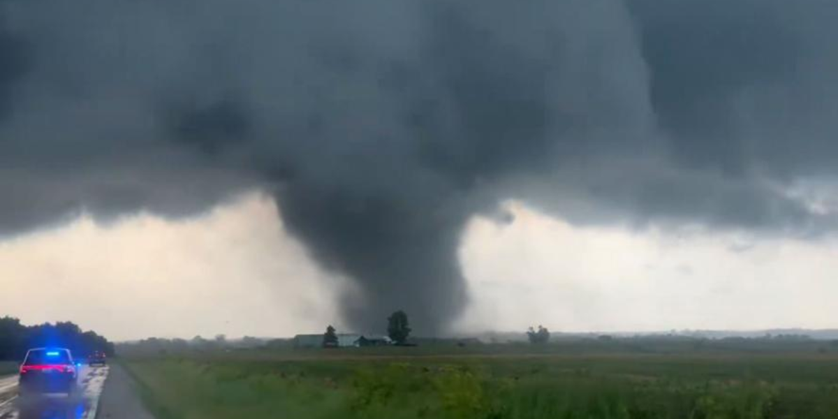
INDIANAPOLIS, Ind. — Residents across Indiana, Ohio, and Kentucky woke up Wednesday to something they have not seen in over a week: silence. No tornado sirens. No flood warnings. No emergency alerts buzzing on their phones. After seven consecutive days of relentless severe weather, a rare dry window has finally settled across the Ohio Valley — and forecasters say it will not last long.
Modeled rainfall totals through 8 p.m. Wednesday evening show the region sitting almost entirely dry. Indianapolis, Cincinnati, Columbus, Louisville, Evansville, and Cleveland are all expected to see less than a tenth of an inch of rain through Wednesday evening — a dramatic shift from the damaging storms, heavy rainfall, and tornado threats that battered the corridor throughout the previous week.
The dry zone stretches across much of Indiana, Ohio, and Kentucky, giving millions of residents a rare weather window that forecasters are calling ideal for outdoor work, crop spraying, and yard projects that were pushed aside during the active stretch.
But the relief comes with context. Heavier rainfall is not gone from the broader region — it has simply shifted. Areas to the north including the Madison and Milwaukee corridor are expected to see totals of 2 inches or more. The Appalachians and parts of the Mid-Atlantic to the south and east are also tracking elevated rainfall totals outside the dry zone.
For the Ohio Valley, the message from meteorologists is clear: use this window while it lasts. Outdoor gatherings, yard work, and agricultural operations across Indiana, Ohio, and Kentucky have a genuine green light through Wednesday evening before the next weather system moves into position.
After seven straight days of active storms, the region is taking the dry air — and not asking too many questions.