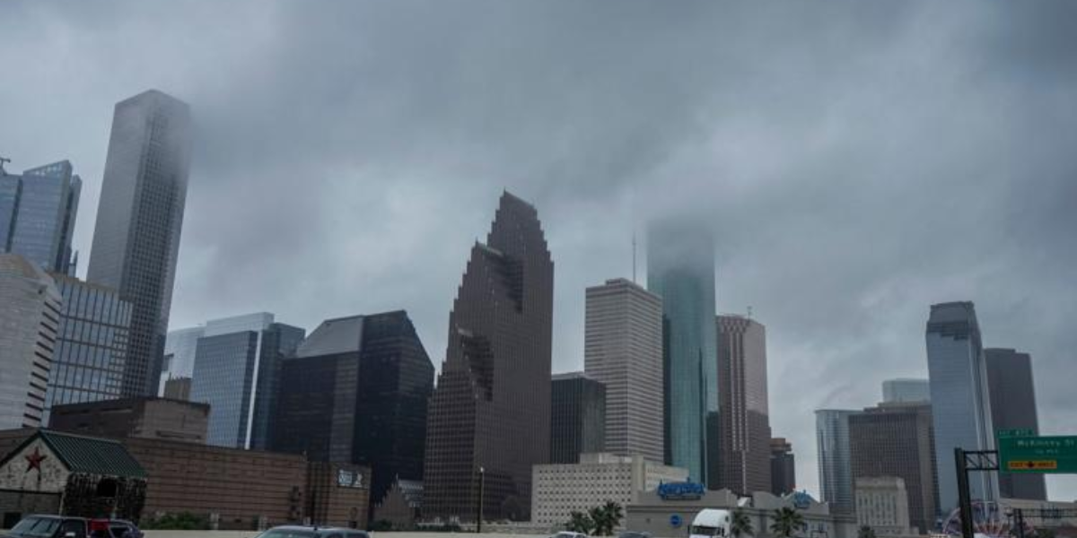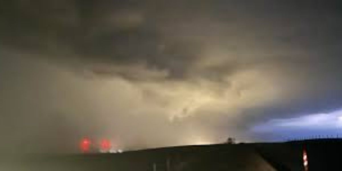
Residents across eastern Oklahoma are facing a prolonged and dangerous weather threat this week as forecasters warn of multiple rounds of severe thunderstorms capable of producing destructive winds, large hail and significant flooding through Thursday night.
The storm system will not be a one-time event. The same areas could be hit repeatedly over several days — dramatically increasing the risk of flash flooding as the ground becomes saturated and drainage systems overwhelm.
What forecasters are warning
The first round of severe weather arrives Tuesday night, targeting a corridor from Oklahoma City through Tulsa and extending north toward Bartlesville and Ponca City. Wind gusts approaching 80 mph are the primary danger, along with hail up to quarter size.
Wednesday brings additional thunderstorms during morning and early afternoon hours, followed by yet another round overnight. While the severe risk drops slightly Wednesday, repeated rainfall is expected to trigger localized flooding — particularly in low-lying areas and neighborhoods with poor drainage.
Thursday is not the end. Another round of thunderstorms is forecast for morning and afternoon hours before pushing into overnight. Damaging winds near 60 mph and quarter-sized hail remain possible. Forecasters stress that the cumulative effect of back-to-back storms is what makes this event especially dangerous.
Cities under threat
Tulsa, Muskogee, Bartlesville, Pryor, McAlester and surrounding communities should remain on high alert through the week.
What residents should do right now
- Have multiple ways to receive severe weather warnings — do not rely on a single source
- Avoid driving through flooded roads under any circumstances
- Charge devices and prepare emergency supplies before Tuesday night
- Monitor local alerts closely — additional watches, warnings and flood advisories are expected
Do not wait until storms arrive to prepare. This week’s threat is serious, repeated and evolving.