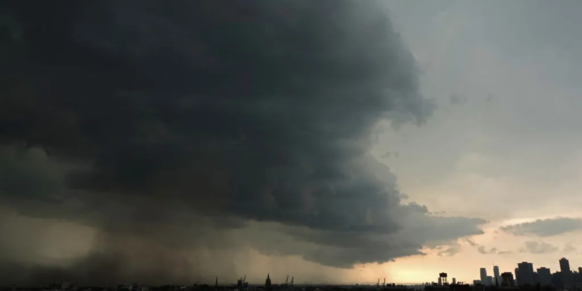
TAMPA, FL — Central Florida is bracing for a dangerous stretch of weather heading into the July 4th holiday weekend, with forecasters warning that some areas could see up to 7 inches of rain by Sunday — enough to trigger serious flooding in streets, neighborhoods, and low-lying areas across the region.
Rain chances are running at 50 to 60 percent each day through Sunday, and a marginal risk for excessive rainfall has already been flagged for the area. The biggest threat is not from any single powerful storm, but from slow-moving storms that stall over the same neighborhoods for hours, rapidly dumping inches of rain faster than drainage systems can handle.
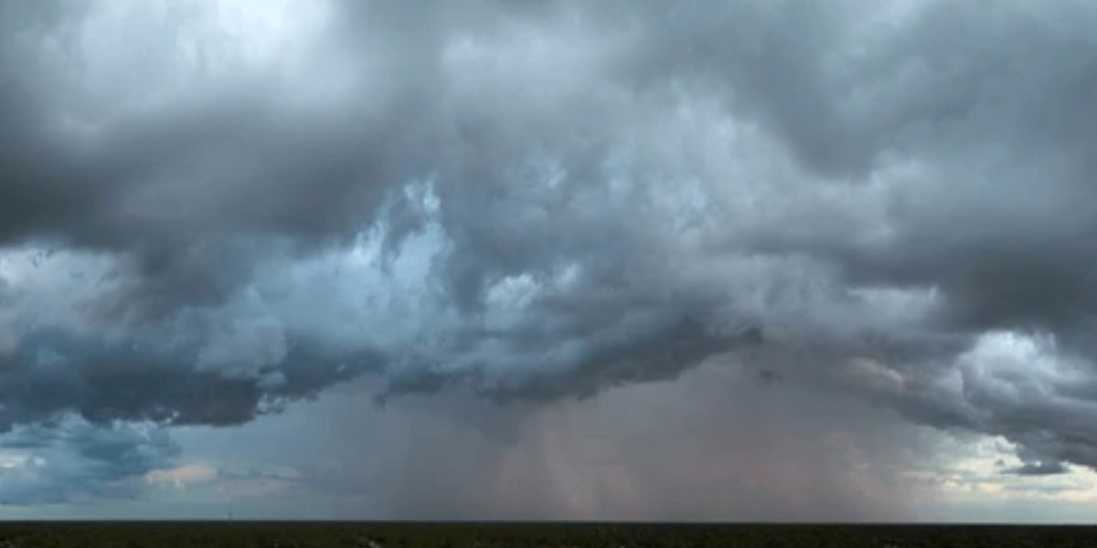
The heaviest rainfall is expected to hammer the southwest Gulf Coast corridor. Fort Myers and surrounding areas of southwest Florida face the highest totals — potentially reaching the 7-inch mark. The Tampa Bay region and areas stretching south toward Miami are forecast to see widespread accumulations of 2 to 3 inches, with isolated pockets exceeding that figure. Northern Florida, including Jacksonville and Panama City, should see much lighter totals in the quarter-inch to 1-inch range.
High temperatures in the lower 90s will combine with elevated humidity levels throughout the weekend, creating classic Florida summer conditions that fuel intense afternoon storm development. Meteorologists describe this pattern as typical for the lead-up to Independence Day across the state, as daily heating cycles interact with the seasonal wet pattern.
Anyone with outdoor July 4th plans across Central Florida is being urged to monitor conditions closely throughout the weekend. If thunder is heard, move indoors immediately and avoid flooded roads — even water that appears shallow can hide dangerous currents beneath the surface.