Central Illinois and Indiana are bracing for another round of severe weather Sunday, just days after the same areas were hit by back-to-back tornado outbreaks.
Forecasters say a strengthening surface low pressure system over northern Missouri will push a warm front north into the region. That front is expected to bring back a warm, moisture-rich air mass, setting the stage for renewed thunderstorm activity.
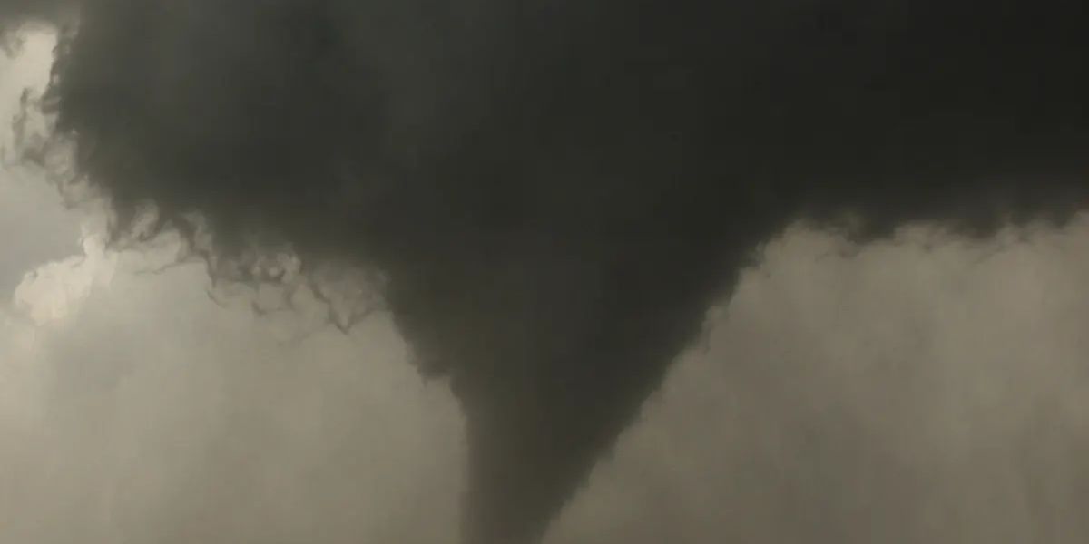
Conditions favor a couple of tornadoes
Along with the moisture surge, forecasters are watching for added helicity near the warm front and extra vorticity tied to the approaching low. Together, those ingredients are expected to support the formation of a few tornadoes on Sunday.
Meteorologists caution it’s still too early to pin down exact tornado strength, but current thinking points to weaker, EF0 to EF1 range twisters. That would mark a step down from the more dangerous tornadoes seen earlier in the week.
Hail expected to stay minor
Large hail isn’t expected to be a major issue with this system. If hail does fall, forecasters say it will likely stay around half-dollar size, with nothing bigger anticipated.
Morning storms could change the outlook
One factor that could shift the forecast: if storms develop earlier in the day, they may use up some of the atmospheric energy needed for stronger afternoon storms. That would lower the overall severe weather threat later Sunday. Forecasters say this remains uncertain heading into the weekend.
Residents urged to stay alert on Father’s Day
With the tornado risk trending upward as Sunday approaches, forecasters are urging residents across central Illinois and Indiana to stay weather aware throughout the holiday. Authorities recommend having a way to receive emergency alerts and a safety plan ready, especially as outdoor Father’s Day gatherings are expected across the region.