SPRINGFIELD, Ill. — If you woke up to storms and thought the worst was over, forecasters have an urgent warning: the deadlier half of Wednesday’s severe weather outbreak has not yet arrived.
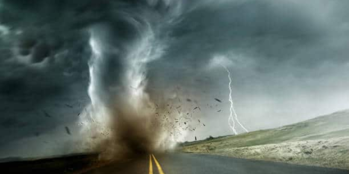
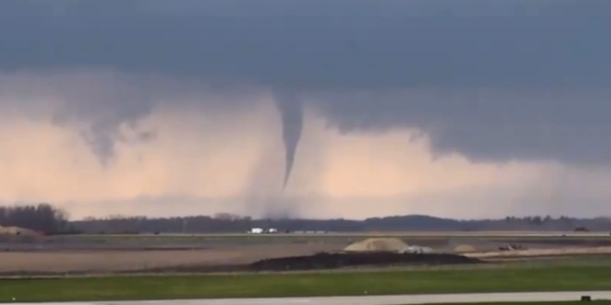
A powerful cold front and low-pressure system are bearing down on Illinois and Indiana, and meteorologists warn the afternoon window carries significantly greater tornado potential than anything residents experienced Wednesday morning. The morning storm activity, which affected areas along the Davenport, Ottawa, Springfield, and Indianapolis corridor, was classified as Round One — a precursor to the more dangerous weather still to come.
Why this afternoon is far more dangerous
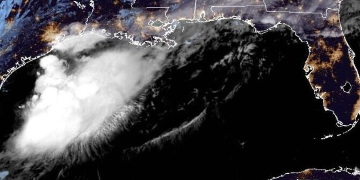
A 990-millibar low-pressure system positioned near Minneapolis is pivoting southeast, dragging a cold front directly through the region. As that front collides with a highly unstable warm sector across the Midwest, conditions will become increasingly favorable for tornado development throughout the afternoon and evening hours.
Forecasters have specifically highlighted that the morning storms — while severe — did not carry the same tornado-producing potential as what the afternoon setup will generate. The combination of cold front interaction and warm sector instability creates a more volatile and organized threat environment than what has already occurred.
What residents must do right now
Officials and meteorologists are urging all residents within the outbreak zone to treat this as an active, life-threatening situation — not a passing storm event. Tornado shelter plans should be finalized and ready to execute at a moment’s notice. Do not wait for a tornado warning to begin taking shelter seriously.
- Identify your nearest sturdy shelter now — lowest floor, interior room
- Keep a weather radio or phone alert active all afternoon and evening
- Do not shelter in mobile homes or vehicles under any circumstances
- Stay weather-aware through tonight — threat extends into evening hours
The critical message from forecasters is simple: the storm that hit this morning was the warning shot. The full threat arrives this afternoon. Illinois and Indiana residents must remain on high alert, with shelter plans ready and weather alerts active, until the system fully clears the region Wednesday night.