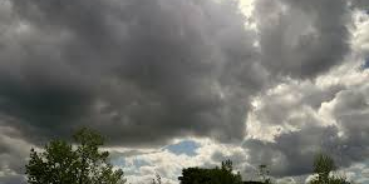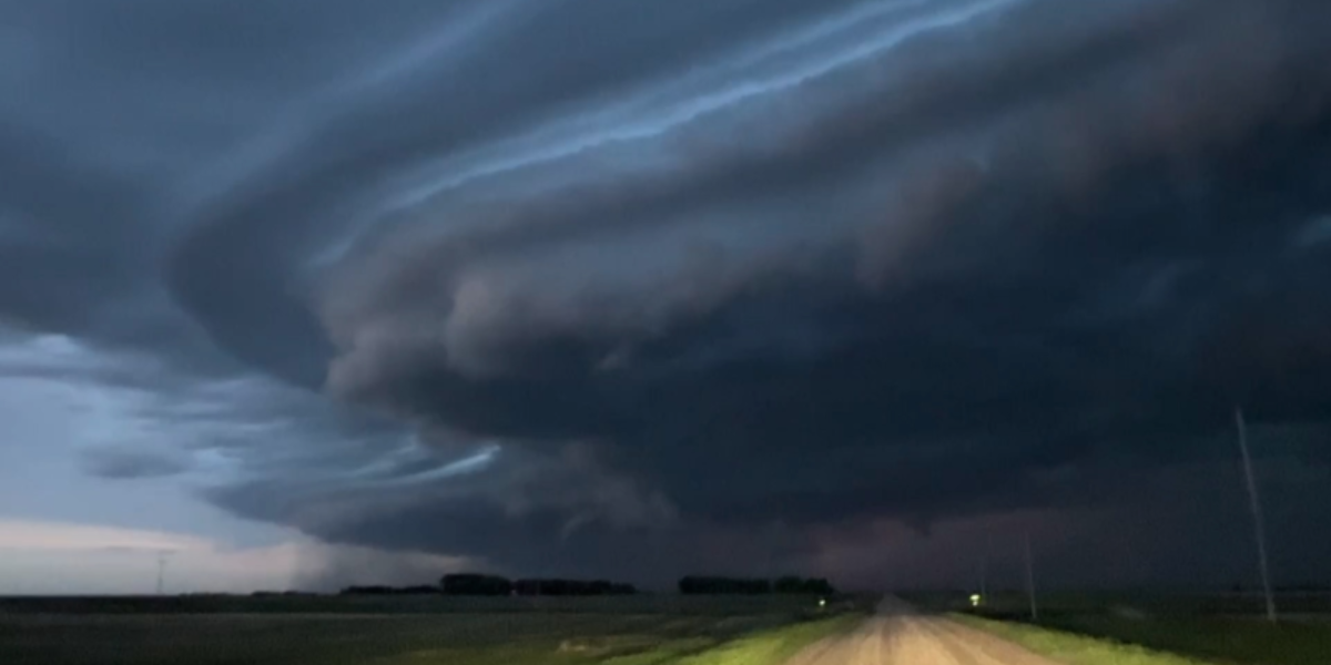
A dangerous storm system is closing in on central Indiana, and forecasters warn it could bring some of the heaviest rainfall the region has seen in weeks — arriving at the worst possible time for communities still dealing with already-soaked ground.
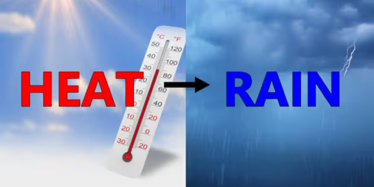
A powerful weather system is expected to move through Indiana on Wednesday, bringing periods of heavy rainfall that could total 1 to 2 inches or more by early Thursday morning. Forecasters warn that some areas may see isolated pockets of even higher totals, particularly beneath stronger thunderstorm cells that stall or repeatedly track over the same locations.
The concern is not just the rainfall itself — it is the condition of the ground underneath. Many communities across central Indiana have already received significant rainfall in recent weeks. That means saturated soil will be unable to absorb additional water quickly, and runoff will move fast into streets, low-lying areas, creeks and drainage systems.
Several cities are in the direct path of the heaviest rainfall, including Indianapolis, Lafayette, Bloomington, Muncie, Terre Haute and Vincennes. Flood-prone roads and neighborhoods in all of these areas face the highest risk.
Drivers heading home during the Wednesday evening commute should expect standing water on roads. Officials stress that drivers must never attempt to cross flooded roadways, no matter how shallow the water appears. Vehicles can be swept away in as little as six inches of moving water.
Residents are urged to clear storm drains near their homes, charge phones and emergency devices, and make sure they have multiple ways to receive severe weather alerts. Additional flood watches and warnings may be issued as the storm gets closer and forecasters gain more confidence in where the heaviest rain will fall.
Wednesday’s storm also carries a separate threat for severe thunderstorms capable of producing damaging winds. Conditions are expected to gradually improve Thursday, with drier and more comfortable weather returning by the weekend.
Five-day forecast — Indianapolis
Monday: Partly cloudy High 80°F
Tuesday: Warm, clouds increase. Showers late High 84°F
Wednesday: Showers and storms likely. Heavy rain possible High 83°F
Thursday: Showers ending, turning cooler High 77°F
Friday: Partly sunny, more comfortable High 75°F