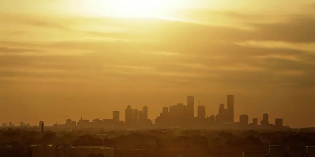
Houston is already testing the limits of its visitors — scorching heat, packed venues, and hours-long lines marked the opening day of the FIFA World Cup. But what’s coming next week could be far more dangerous.
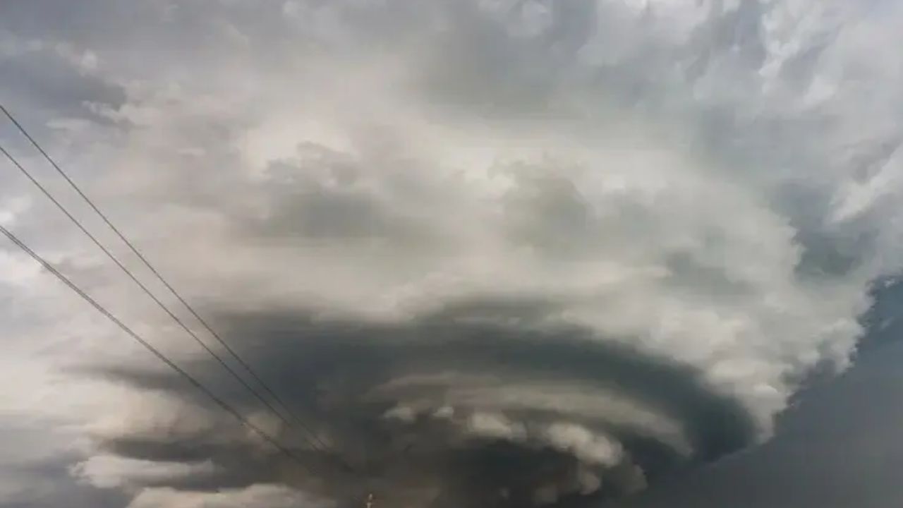
A cold front is forecast to push into Southeast Texas late Sunday night, and meteorologists are warning it will not arrive quietly. The National Weather Service has placed the region under a Marginal Risk for excessive rainfall Sunday night, upgrading to a Slight Risk on Monday — a sign that conditions could deteriorate rapidly for the millions gathered in the city.
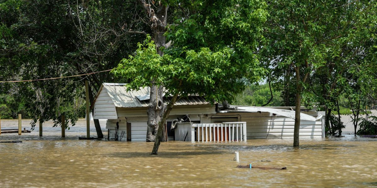
Rainfall totals between Sunday night and Tuesday are expected to reach 1 to 3 inches across the area. However, forecasters are not ruling out isolated pockets receiving up to 5 inches — an amount capable of triggering flash flooding on roadways and in low-lying neighborhoods across Harris County.
Before the front arrives, the heat will remain punishing. Feels-like temperatures this weekend are projected to range from 97 to 107 degrees, meaning fans already battling exhaustion and dehydration at World Cup venues will have little relief heading into Sunday’s events.
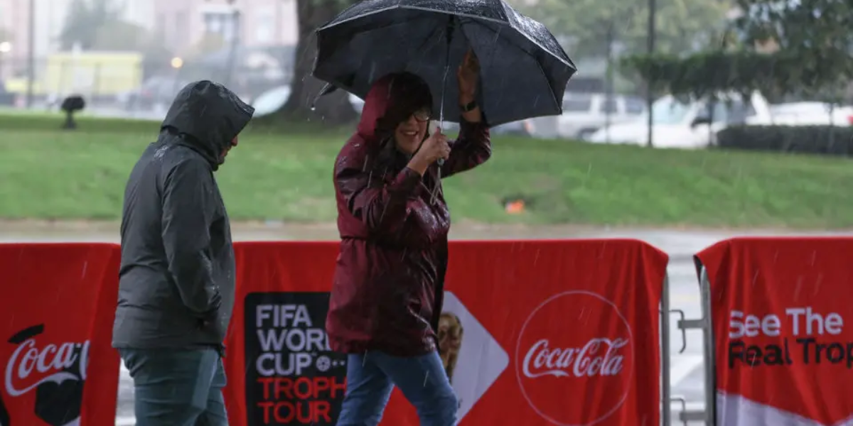
For fans attending Team USA’s match Sunday afternoon, the timing may offer a narrow window — the heaviest rainfall threat appears most likely after the 12 p.m. kickoff. But anyone planning to remain in Houston through Monday or Tuesday for additional matches and fan events should prepare for a dramatically different situation.
Atmospheric moisture levels are expected to surge significantly ahead of the front, creating widespread conditions favorable for heavy thunderstorms. Residents and visitors are urged to avoid low-water crossings, monitor local emergency alerts, and have a shelter plan in place before Sunday night.
This is a developing weather situation. Conditions may change rapidly. Stay updated with official emergency alerts for Harris County.