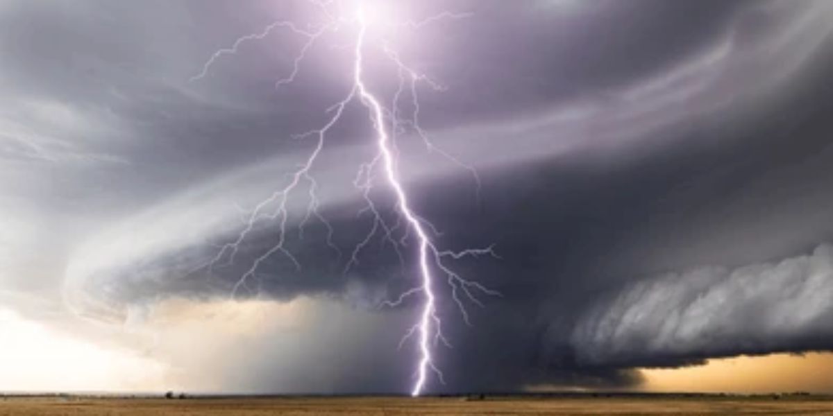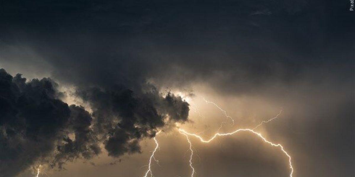
A dangerous weather setup is taking shape across North Texas on Wednesday afternoon, with forecasters warning that isolated storms capable of producing damaging wind gusts could strike parts of the region between 3 p.m. and sunset.
Where the danger is highest
The most significant threat is concentrated east of Interstate 35, where storm coverage could reach as high as 30 percent. Cities including Denison, Paris, Tyler, Palestine, and Lufkin are squarely in the highest-risk zone. Corsicana, Mexia, and Crockett are also within this elevated threat corridor, where a combination of atmospheric instability and available moisture is expected to fuel the strongest storm activity of the day.
Dallas-Fort Worth and areas west
Residents in the Dallas-Fort Worth metroplex, Denton, and Waco are not in the clear. Isolated gusty storms remain possible in those areas, though coverage is expected to be lower — around 10 percent. Stephenville, Killeen, and communities near Wichita Falls could also see scattered storm activity. To the north, Ardmore and Chickasha fall within the broader storm threat zone as well.
When to expect storms
Storms are expected to begin developing after 2 to 3 p.m., with the primary window of concern running from 3 p.m. through sunset. Once evening arrives, storm activity is forecast to diminish as instability decreases. However, conditions can change rapidly — do not wait until storms are on your doorstep to take shelter.
Residents across North Texas are urged to avoid outdoor activities during the afternoon hours, charge their phones, and have a plan in place in case of a fast-moving storm. Those living east of I-35 should treat this threat seriously and be ready to move indoors quickly if skies darken or winds pick up suddenly.